Great Sand Dunes National Park
2022-07-06
OK, TX, NM, CO
Another early morning got us on the road before any traffic. We have had great luck (perhaps augmented with time zone changes) at waking up early without an alarm, usually around 6:00. We soon left the interstate for Oklahoma rural highways. With the 65 MPH speed limit and occasional passing lanes, these roads are OK! They took us across the Texas Panhandle and then into New Mexico.
When considering this trip, Valerie read Barry's blog where he talks about "calling an audible" and we discussed what that means. (For anyone unfamiliar, it is an American football term which essentially means "changing the plans at the last minute.") As we were driving through New Mexico we saw some signs for Capulin Volcano National Monument, and we called an audible. After all, when are we ever going to be in this corner of New Mexico again?
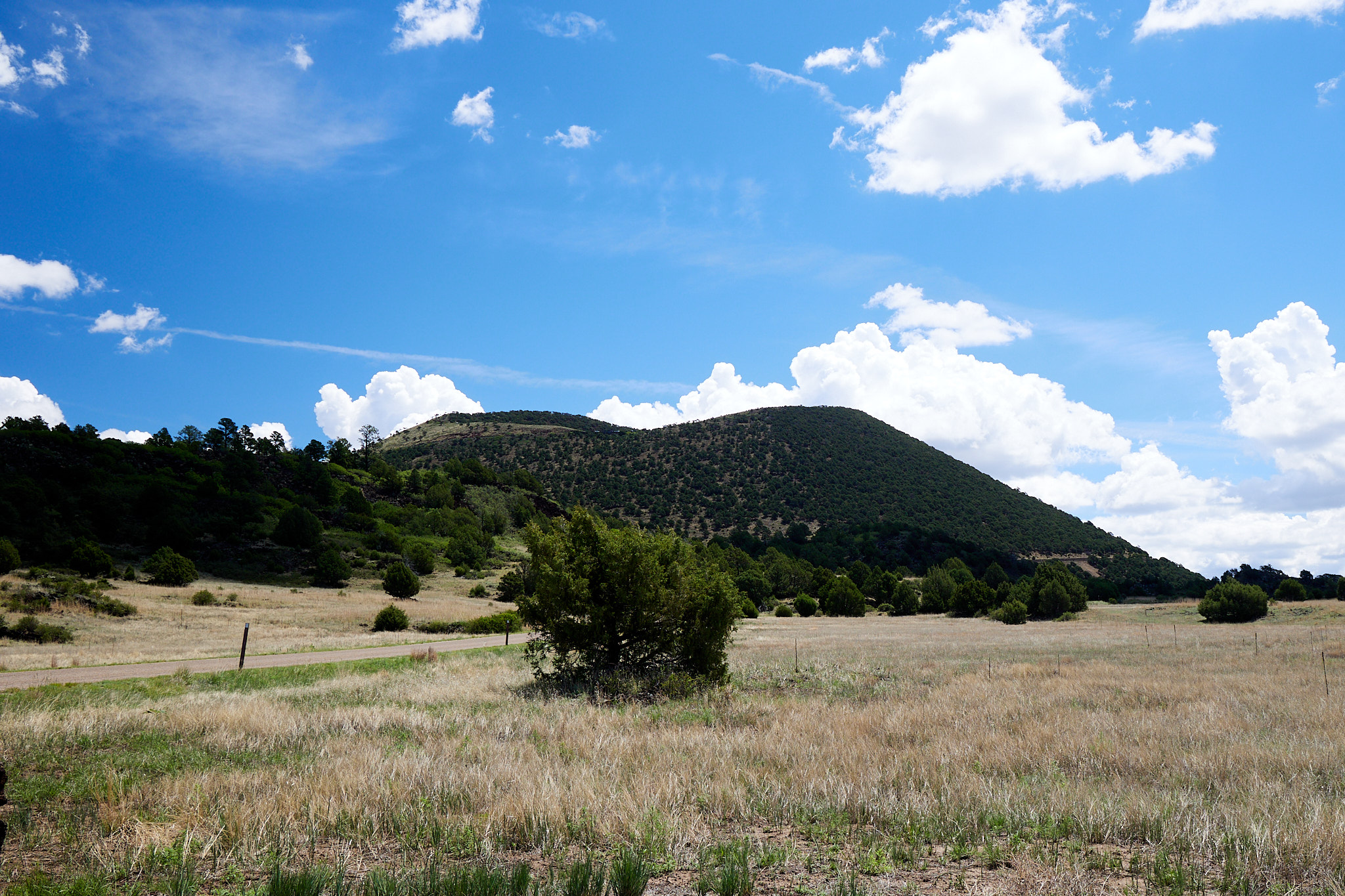
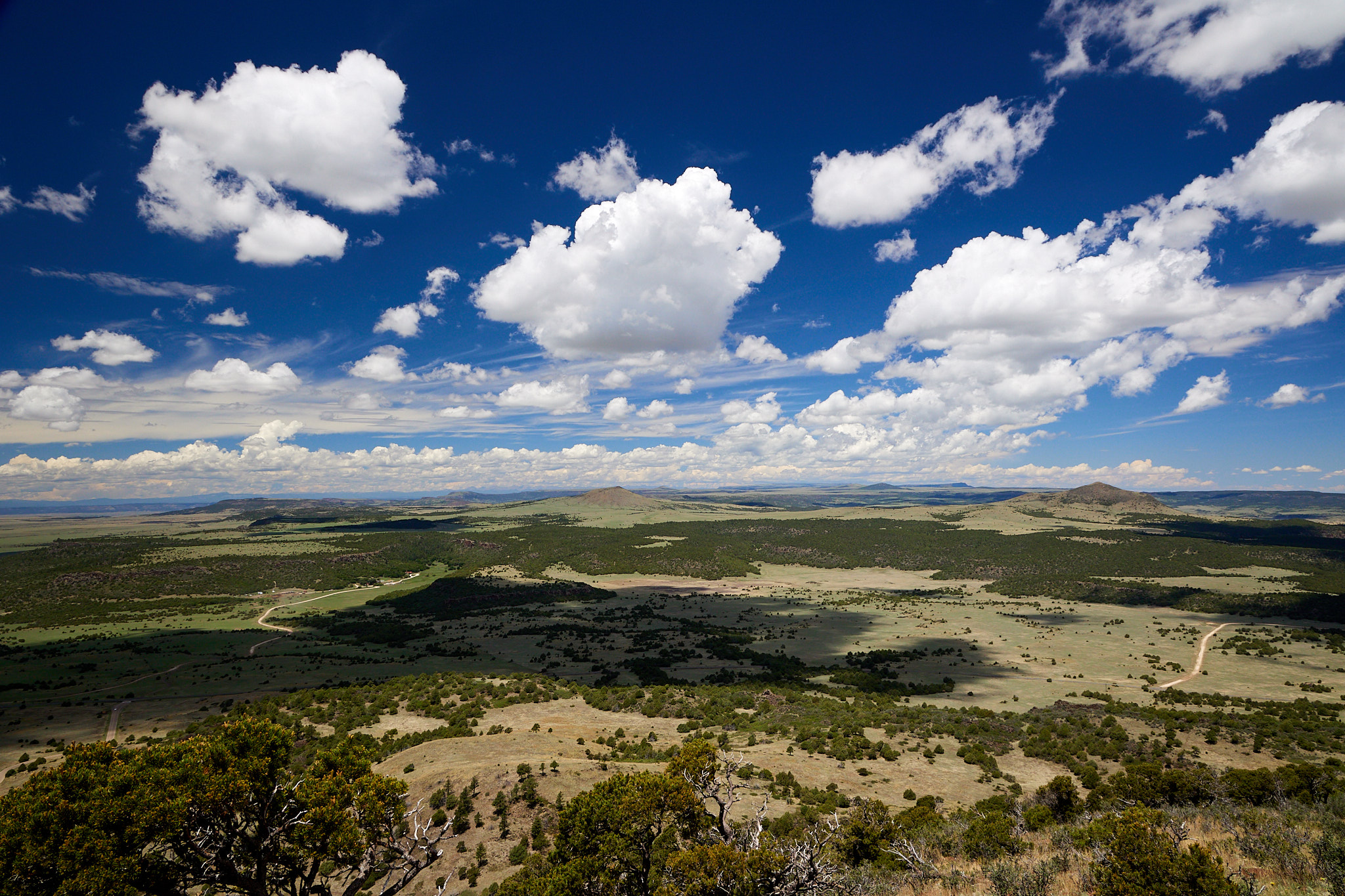
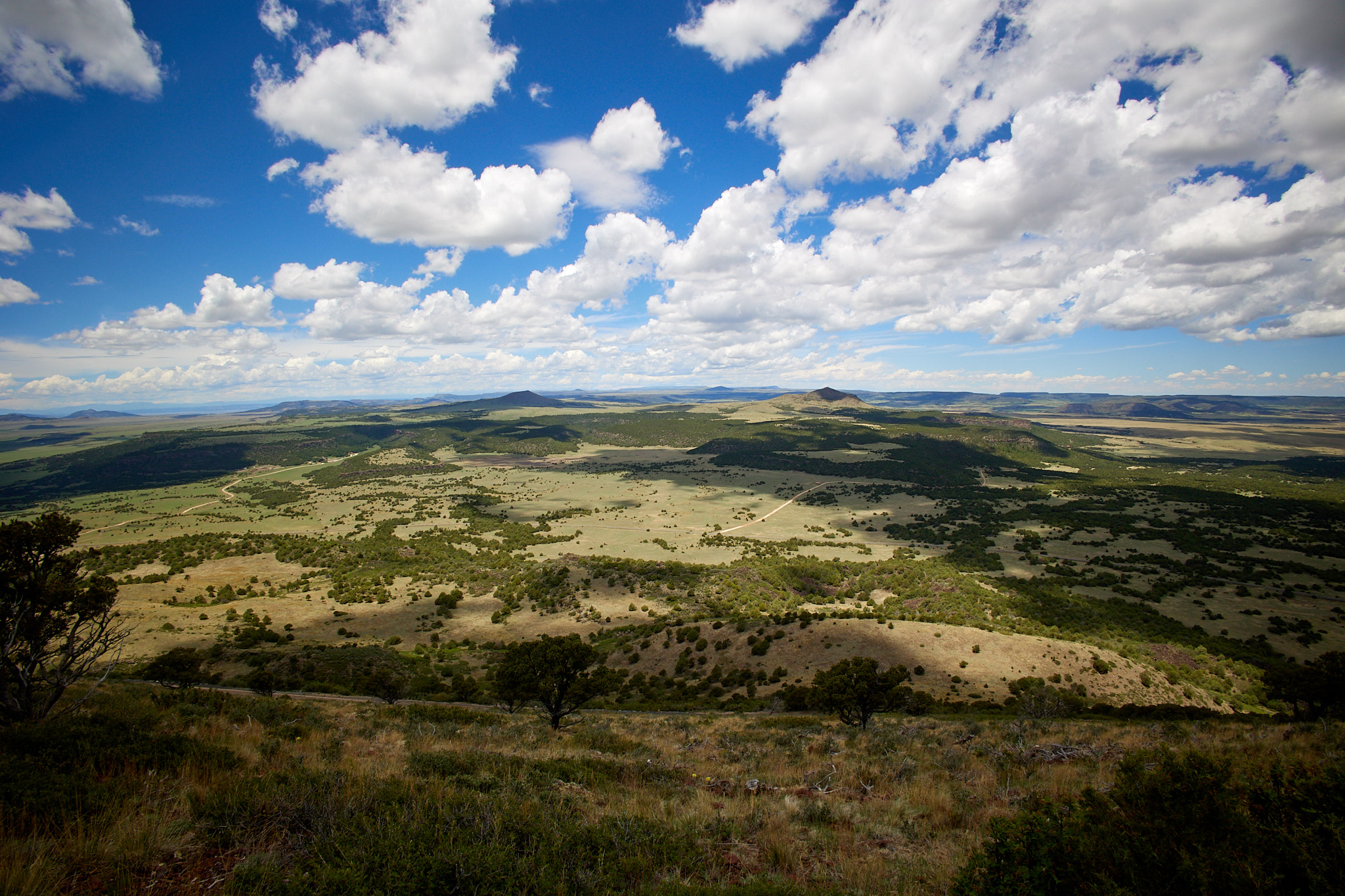
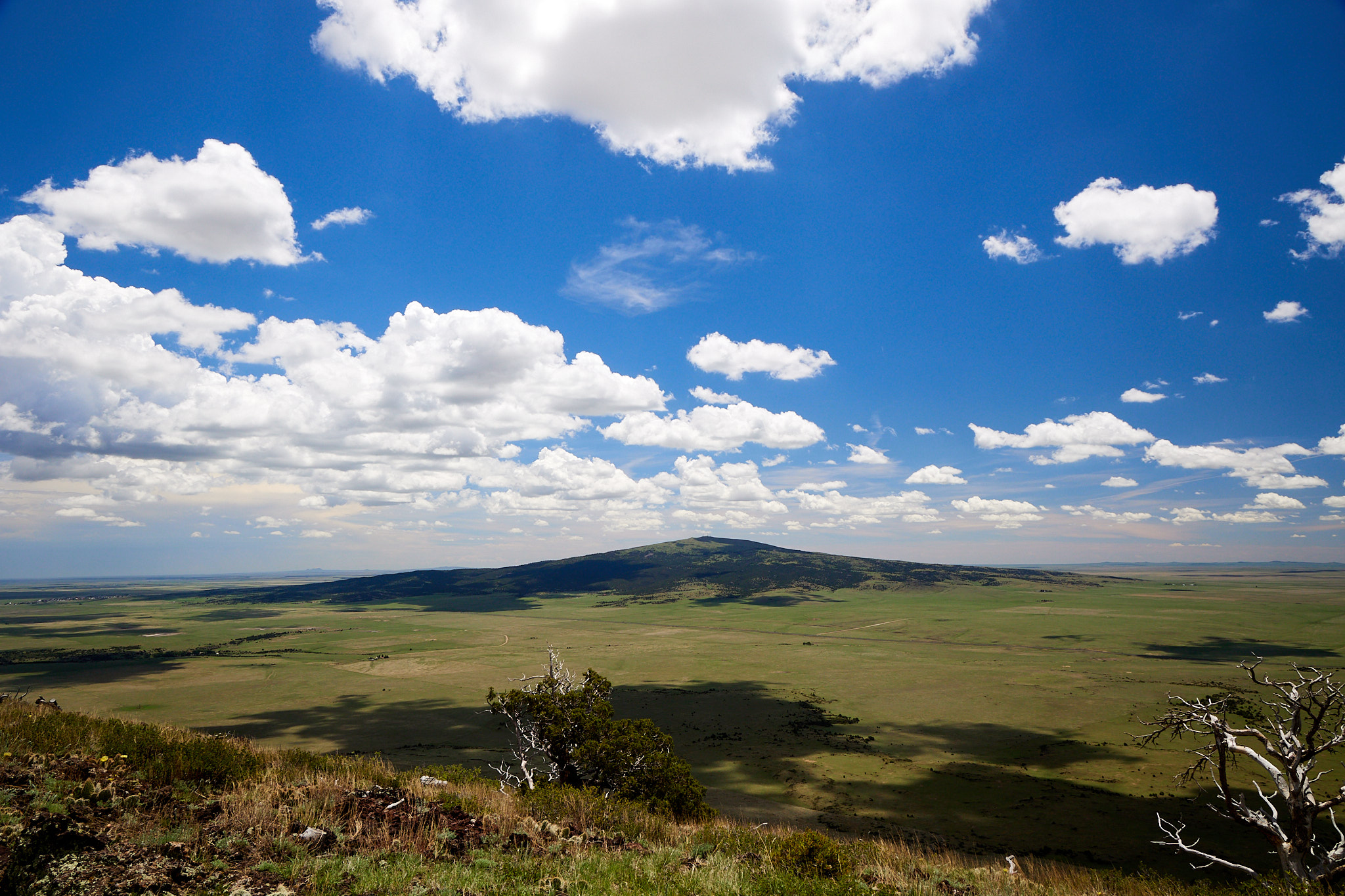
Capulin is an extinct cinder cone volcano. Also, it has a road running to the top. Our national park pass got us in, and we drove on up to the top. There is a short trail leading to the bottom of the caldera plus a trail around the rim. We opted for the latter and circumnavigated the rim in about a mile. You can see four states from up there, and it was not too hazy. I know there are several fires in Arizona and New Mexico but it wasn't as bad as I had feared. Here are some views from the top
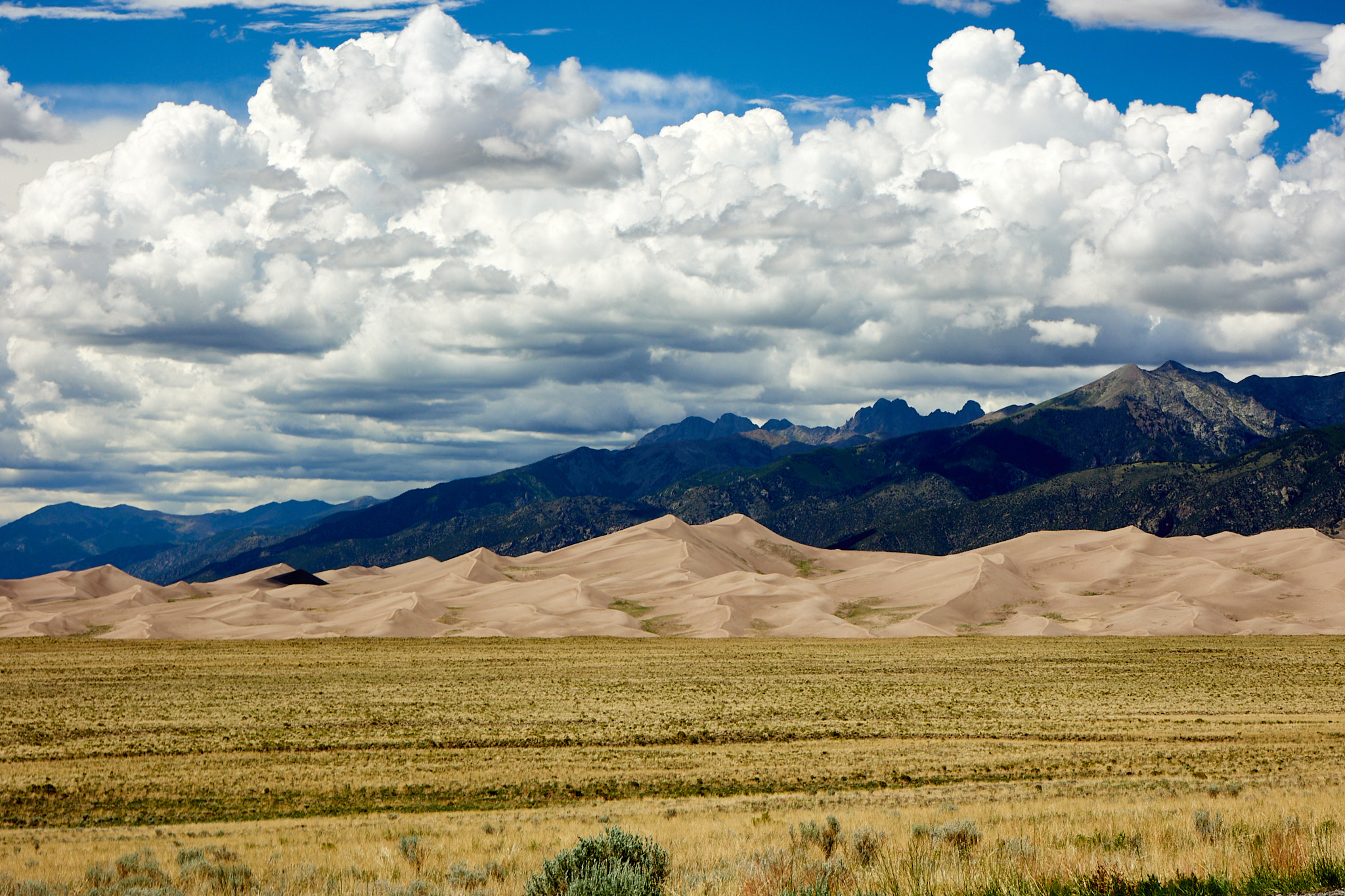
After spending an hour and a half up on the volcano, we got back to our regularly scheduled trip. We headed through a corner of New Mexico and then into Colorado finally arriving at Great Dunes National Park which is at about 8000 feet above sea level. This becomes important later.
These are the tallest dunes in North America. The dunes are created by grit blowing from the mountains to the west as well as down from the mountains the dunes nestle up against. The prevailing winds pile the sand, while the storm winds come from a different direction and push the piles back into dunes. There is also a river that carries down some of the escaped sand, depositing it for the prevailing winds to pick up.
The original plan was to hike the dunes in the late afternoon when it was cooler, so we set up camp and got ready. And cooler it was; around 78 by the time we arrived at 3:00 PM which felt great after the heat in Oklahoma. We decided to walk from the campground to the dunes rather than driving to the dunes parking lot. This took us an extra half mile. Then as we climbed the dunes, the wind picked up to the point that we were getting sand blasted. So another audible and we are off to do tomorrow's hike in Mosca Pass. We can see it from where we are on the dunes so we figure that we could walk there in about the same time as going back to the campground. We were wrong. We finally got back to the main road and realized that we'd have to walk back to camp after the hike, so we decided to do that part first and get the car to drive back to the hike parking lot. When we got back to the campground after a total hiking distance of three miles, we found the altitude (and all these wasted miles) had taken its toll. Overall, this was a series of mistakes best avoided when you visit the park.
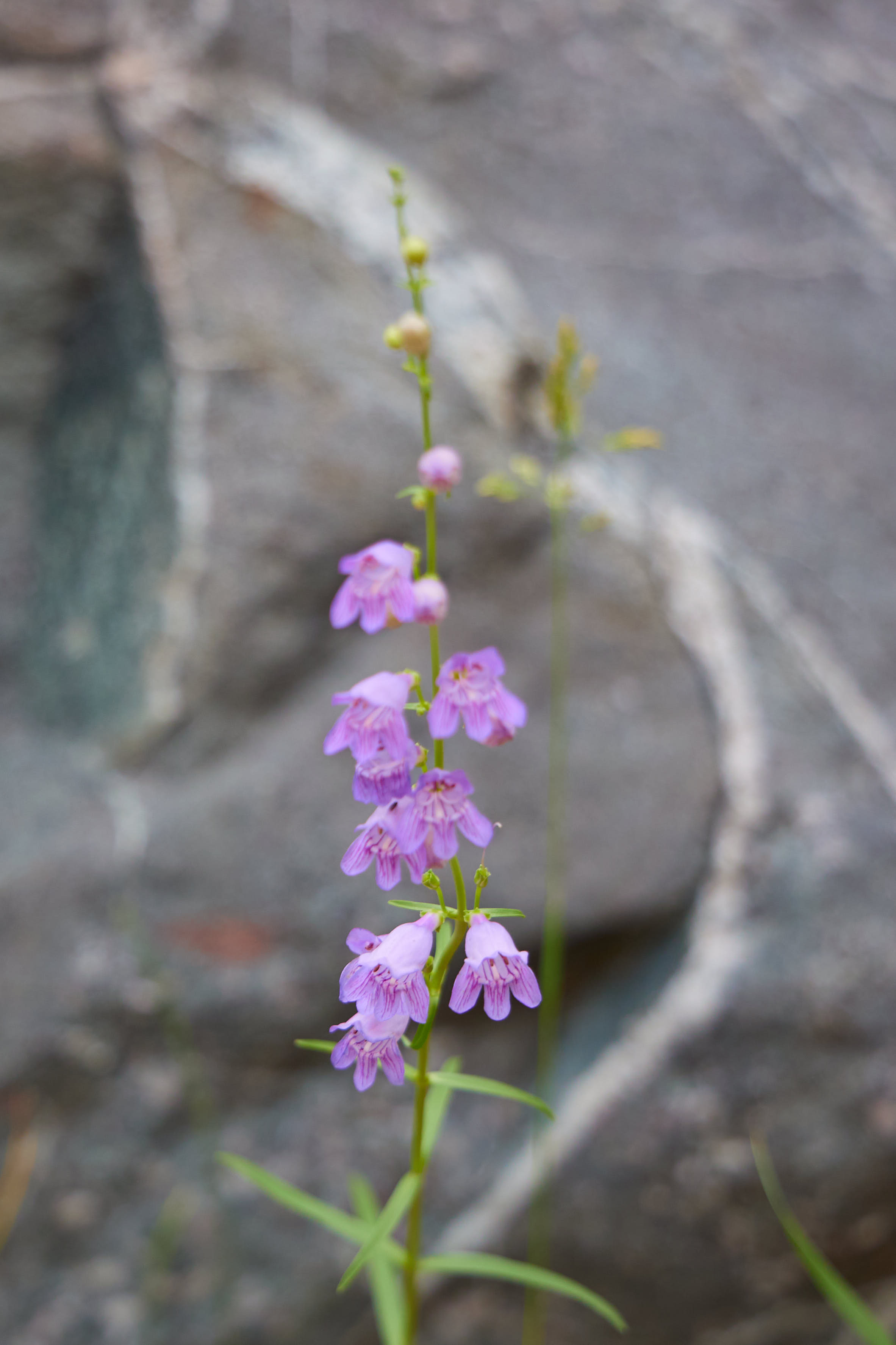
We decided to just hike the beginning of the Mosca Pass which is the Montville Nature Trail. It's a half-mile loop that features some flowers as well as a lot of Aspen and Cedar trees.
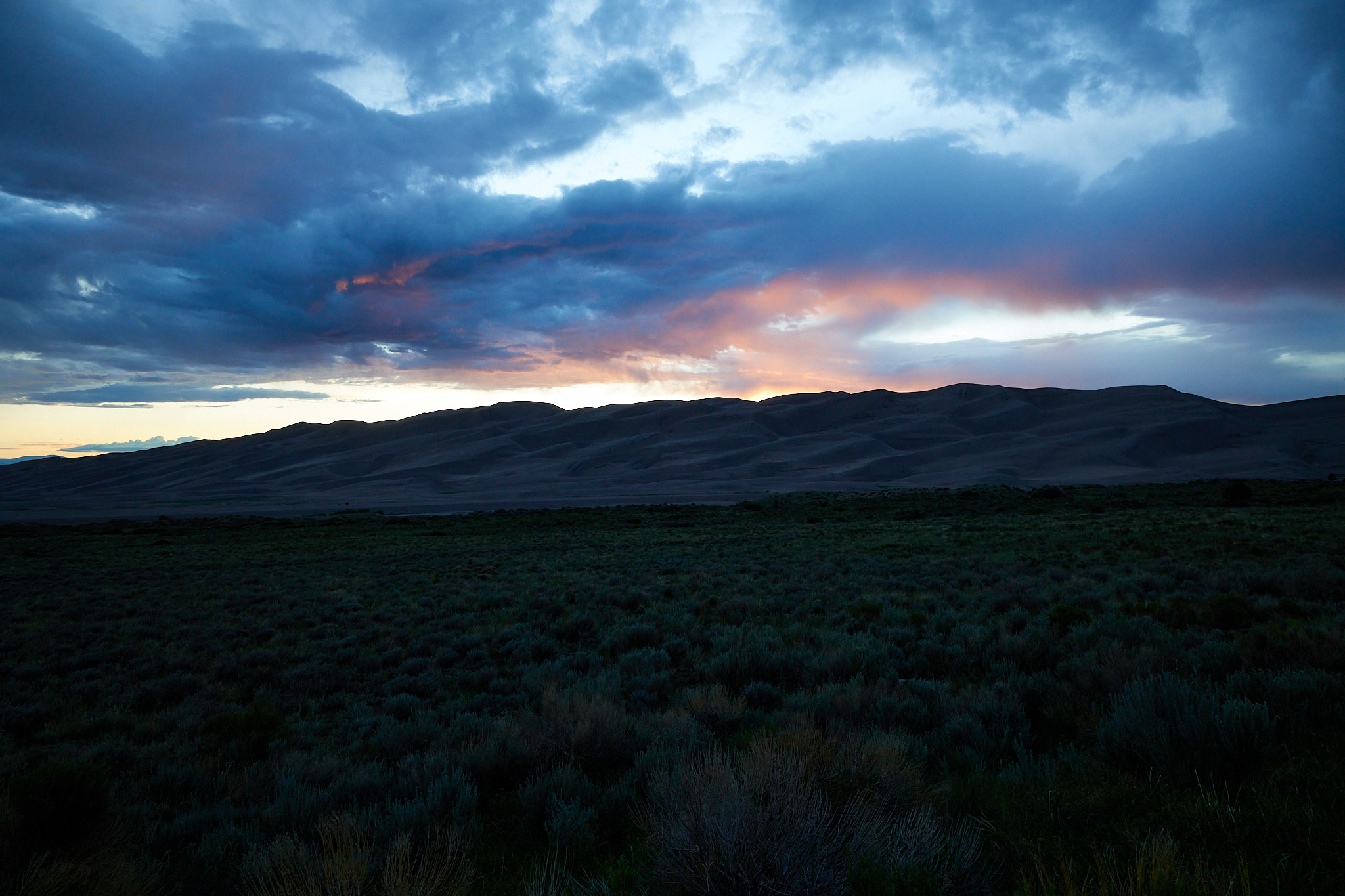
That was enough hiking for the day, so we went back to camp for supper. Afterwards we went to an overlook for a few sunset pictures.
The day had one more treat. I had to get up at 4 AM to use the bathroom, and the park is so dark that we could see the Milky Way. No pictures because it was 47 degrees and at that point I needed my sleep.
Total miles driven: 503
Total miles hiked: 4.25 @ 8000 feet