Black Canyon of the Gunnison
2022-07-07
Great Sand Dunes and Black Canyon of the Gunnison National Parks, CO
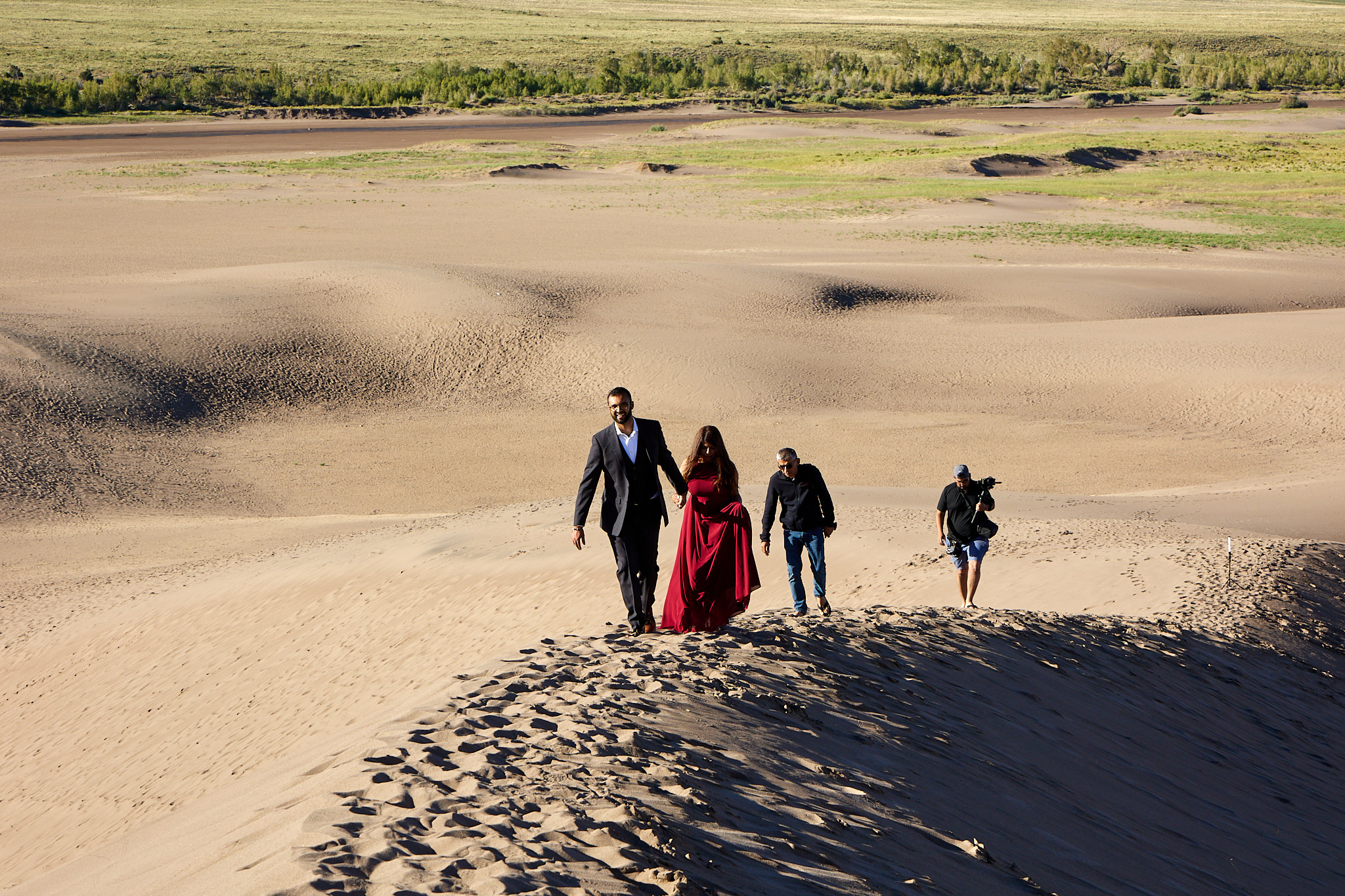
We started the morning with the Dunes hike that was postponed due to weather the night before. We hit the dunes early (driving this time), leaving breaking our camp for later. Upon entering the dunes we greeted a couple of guys that were sort of loitering there. Turns out they were wedding photographers (numbers two and three) from Georgia flown in to take engagement photos. In my opinion the couple was late; the "golden hour" was fading. We ran into the couple on the way down being herded by their photographers.
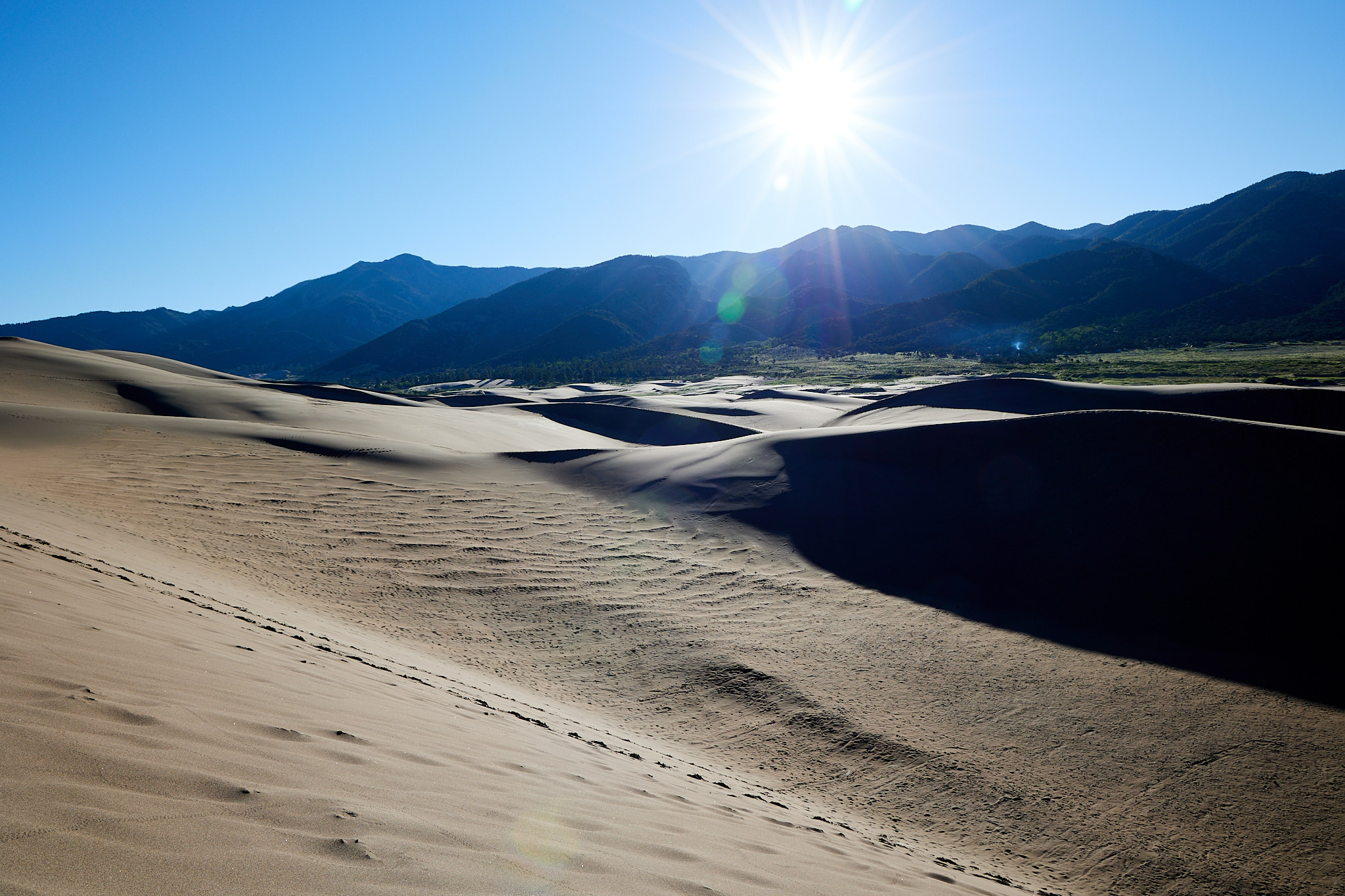
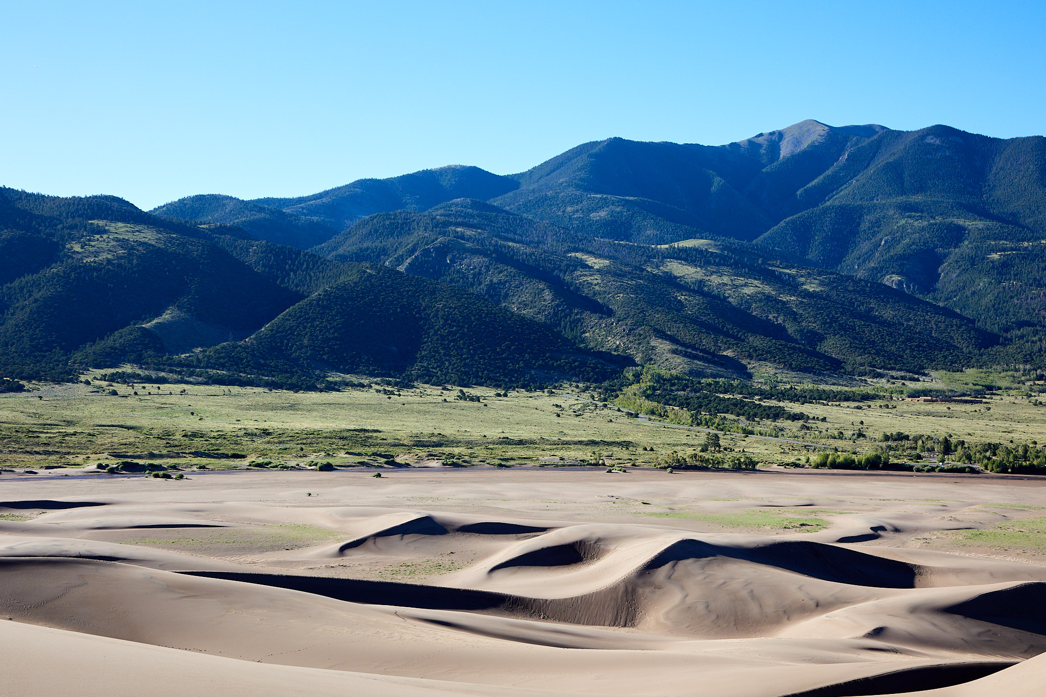
We climbed up the dunes as far as we could considering the altitude, sand, and who we are. It was about 50 degrees when we started out but it warmed up quickly as we climbed dune after dune. We made it maybe 70% of the way to the top, but the last dune was much steeper and we were winded, so it was time to head back down. After all, the only thing beyond that dune was more dunes. We retraced our steps to the car and went back to camp to have breakfast.
We decided to try Mosca Pass Trail las a light hike (no cameras). We wandered about three-quarters of a mile pretty much all up before once again being winded and it was time to turn back. It was also close to time to vacate the campground before checkout and we didn't want to upset the rangers. We took down our tent, happy that it had dried from the drizzle and dew of the previous night. Leaving it up is the good decision that balances yesterday's bad hike decision.
We headed out across Colorado's rural highways. These often follow rivers through canyons or loop around mountains. The scenery is amazing. We drove though mostly arid land, which is not the greenery and mountain streams that the Coors commercials promised of Colorado. This section between the mountains gets little rain and is scrubby. At one point we had to slow for either goats or Bighorn ewes in the road.
We passed through the Rio Grande National Forest (also massive) and over the Continental Divide. That is the hydrological divide of America; anything to the east drains to the Atlantic and to the west into the Pacific. Later we passed through the Gunnison National Forest. The Forest Service has 380,000 miles of roads in all these different National Forests. That's a lot to maintain.
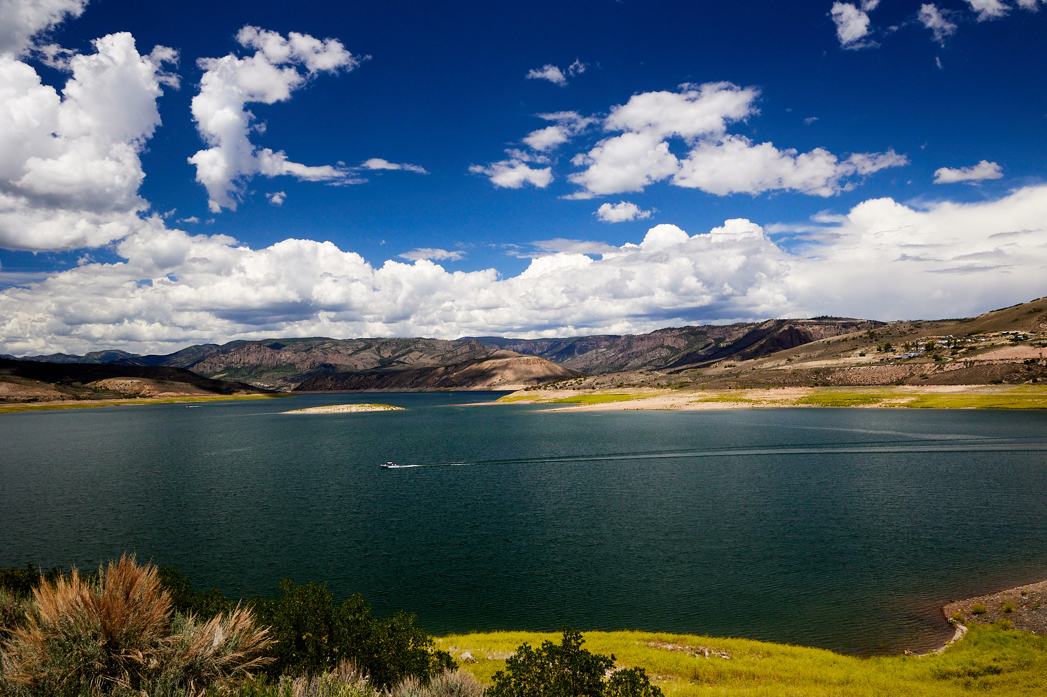
After a while we entered the Curecanti National Recreation Area. It's a beautiful area of over 43,000 acres encompassing a reservoir. At one point the lake looked to be down some thirty feet or so. Water is scarce west of the Continental Divide.
We continued on to Black Canyon of the Gunnison National Park. We're up to $75 in National Park entrance fees that we've saved so the pass will be paid for when we get to the Rockies, and even more so because of the convenience. The accessible part of the park is at about 8000 feet of elevation at the top of the canyon, and it is about 2000 feet lower at the river if you get a permit and want to head down.
We headed to the campground to get set up. I have said before that camping is just eating and sleeping. Whether you carry a tent and rations on your back or drive a forty-foot mobile home, in my book you can call it camping as long as you eat and sleep away from home using gear you've brought. Valerie had never been camping before. Well, there was one time with the Girl Scouts in 5th grade, but it's hard to count that since most everything is handled for you. So far we've stayed at various levels of campgrounds, but the Black Canyon was a little more primitive than the rest with no water in the park at all and no electricity in our loop of the campground.
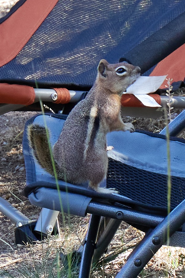
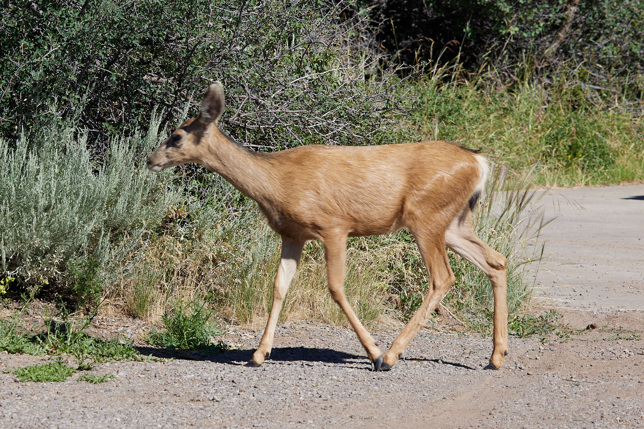
Valerie's friend was talking about having her dog-sit in July. I begged her not to mention amenities like electric lights and flush toilets or Val would have had a tough choice. But this campground did come with a large supply of ground squirrels to fill all your camping needs. There are also rabbits and mule deer strolling through.
After a stop at the Visitor's Center for information and a view from the lookout, we rested and made dinner while waiting for it to cool a bit. Then we went and did some evening photography combined with location scouting for the golden hour the next morning. On the upper rim, the Park is a series of points where you can walk about 300 yards from the road to the edge of the canyon and enjoy the scenery. There are also a limited number of backcountry permits if you want to go to the bottom of the canyon. Of course, the key to that is the 2000-foot climb to get back to the rim. During my road trip in 2018 I met a guy from Colorado who had been to all the parks and had hiked to the bottom. He said it was best avoided. His point is that we almost always hike up to the top of things to enjoy the view, and at the bottom you can't see very far. Also apparently it's a poison ivy jungle.
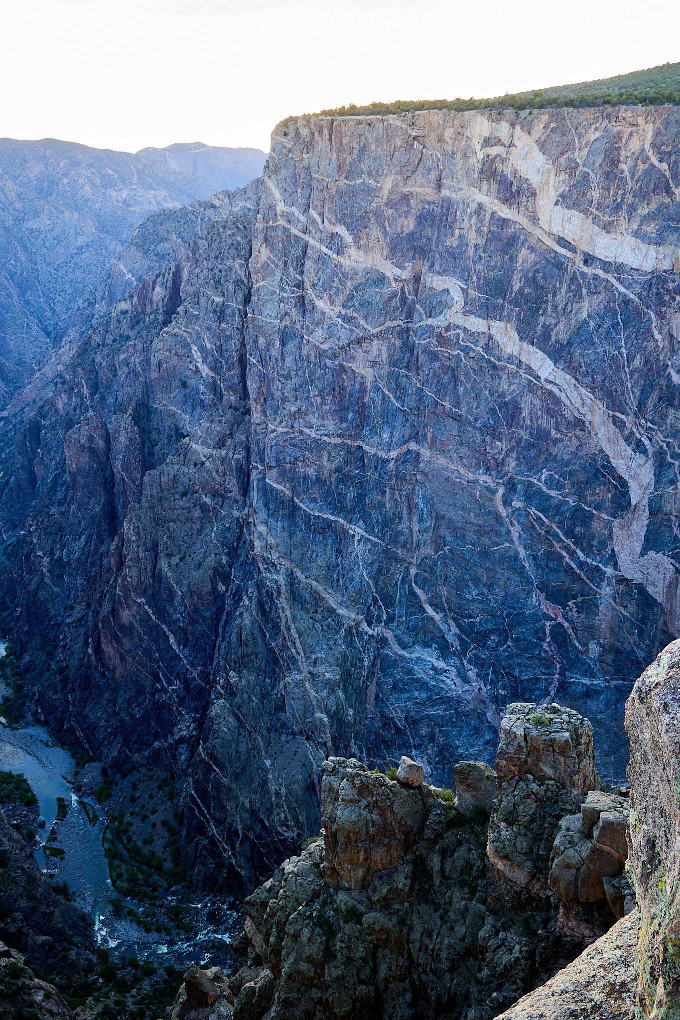
Since it was after 4:00 PM there were few others at the overlooks. We went to Devil's Lookout, Chasm, Painted Wall, Cedar Point, Dragon Point and Sunset View overlooks to enjoy the scenery and take a few pictures. At Painted Wall we met wedding photographer number four who was a young fellow happy to provide unsolicited advice. I guess he wasn't worried about us stealing any business. It is really hard to show the scale of something twice the height of the Empire State Building, but this gives you an idea. You can see the river at the bottom.
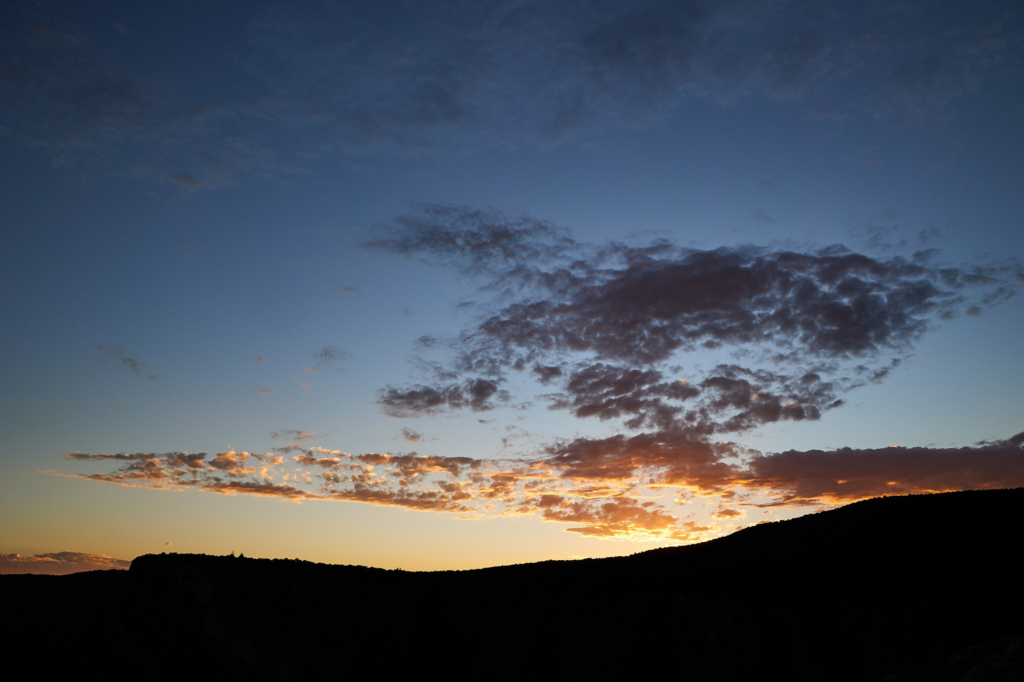
We settled on Painted Wall to take a few sunset shots. Hopefully we can stack some later, but I don't have time to do that while I'm on vacation.
Driving distance: 222 miles
Hiking Distance: 5 miles