Custer's First Stand
2022-07-13
CO, WY, NE, SD
Today is a repositioning day. We got up a bit later than usual, letting ourselves catch up on sleep. We also ate the "free" continental breakfast that started at 7:00. We had missed it all week because we figured it was better to avoid the 30–60-minute wait at the gate by getting there at 6:00 than to have a mini bagel and banana for free. We may be in the minority.
We headed out through Fort Collins and on up the interstate into Wyoming where we stopped at the Welcome Center for the usual water-related reason. This was the first surprise of the day. This welcome center had a wonderful display about Wyoming. It started with a wooly mammoth skeleton but continued with an early mining steam locomotive and a jail cell that children could "escape" from by opening a hidden door in the side and sliding out (which was being ably and constantly demonstrated by some siblings). There was also a snowmobile and other hands-on exhibits. It was notable as rest areas go. The woman working the desk asked where we were heading and told us about a ghost town (Ardmore) and Fort Robinson which were on our route. Notably those destinations are in South Dakota and Nebraska, so I give her credit for going beyond her mandate to be helpful.

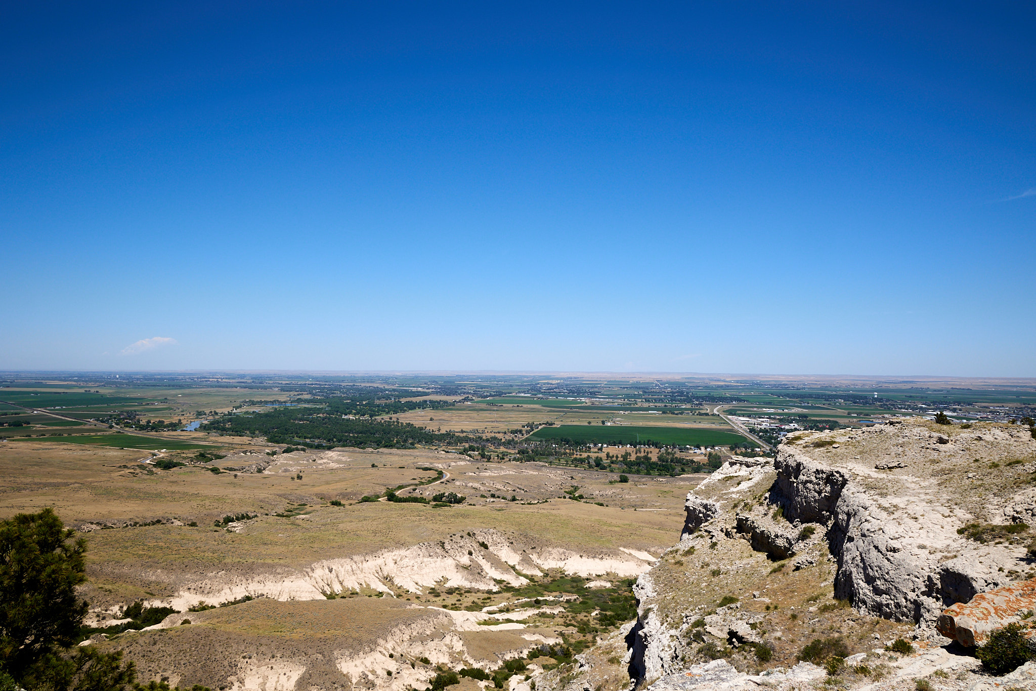
We got back on the road and crossed into Nebraska, but Google sent us to a place where the road was closed at some railroad tracks. It may not have been closed long; the sign said just today and tomorrow. The detour took us a few miles out of the way where we saw a sign that we were entering Scotts Bluff National Monument. This is road trip serendipity that cannot be ignored, so the audible was called and in we pulled. You can drive or walk to the top of the bluff and in the interest of time we opted for the former. They really put in effort to make this drivable; there are three tunnels on the 1.5 mile road to the top. The views are pretty cool. Scotts Bluff was a landmark on the Oregon Trail. I like to think of the Oregon Trail as the Route 66 of the early 1800's.
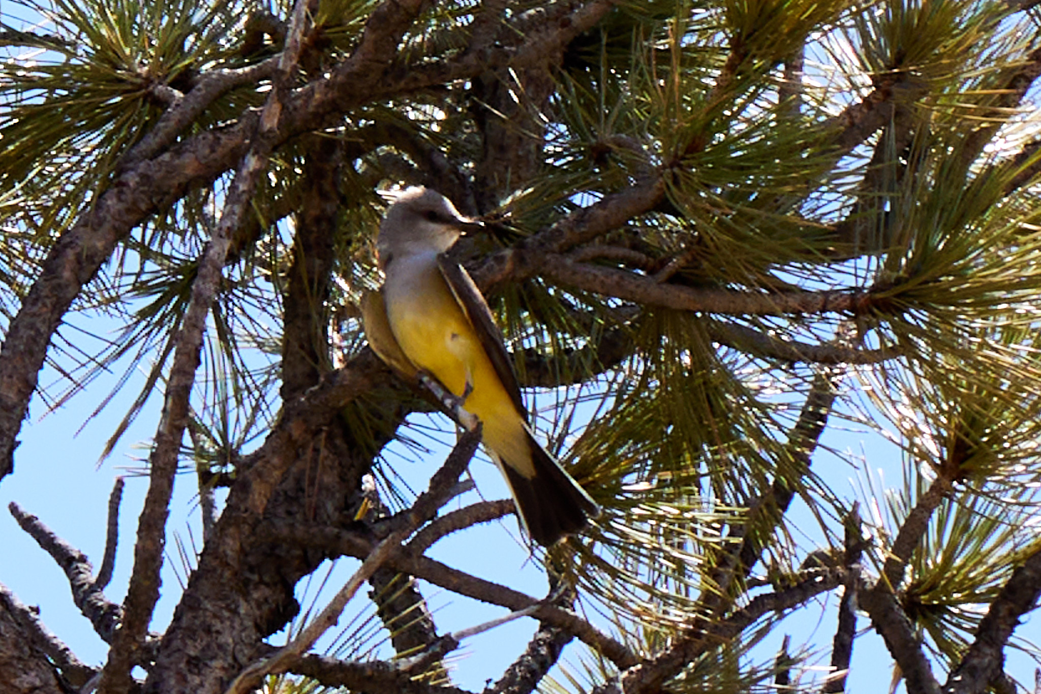
Here is the obligatory bird picture that I know some of my friends have been chomping at the bit for.
We spent about 45 minutes checking out the bluff including a half-mile walk before getting back on the detour. About four miles later it takes us through a town with a gas station, which was great timing. And in hindsight I can say there wasn't another gas station for quite a ways. Usually detours suck, but this one was pure road trip manna.
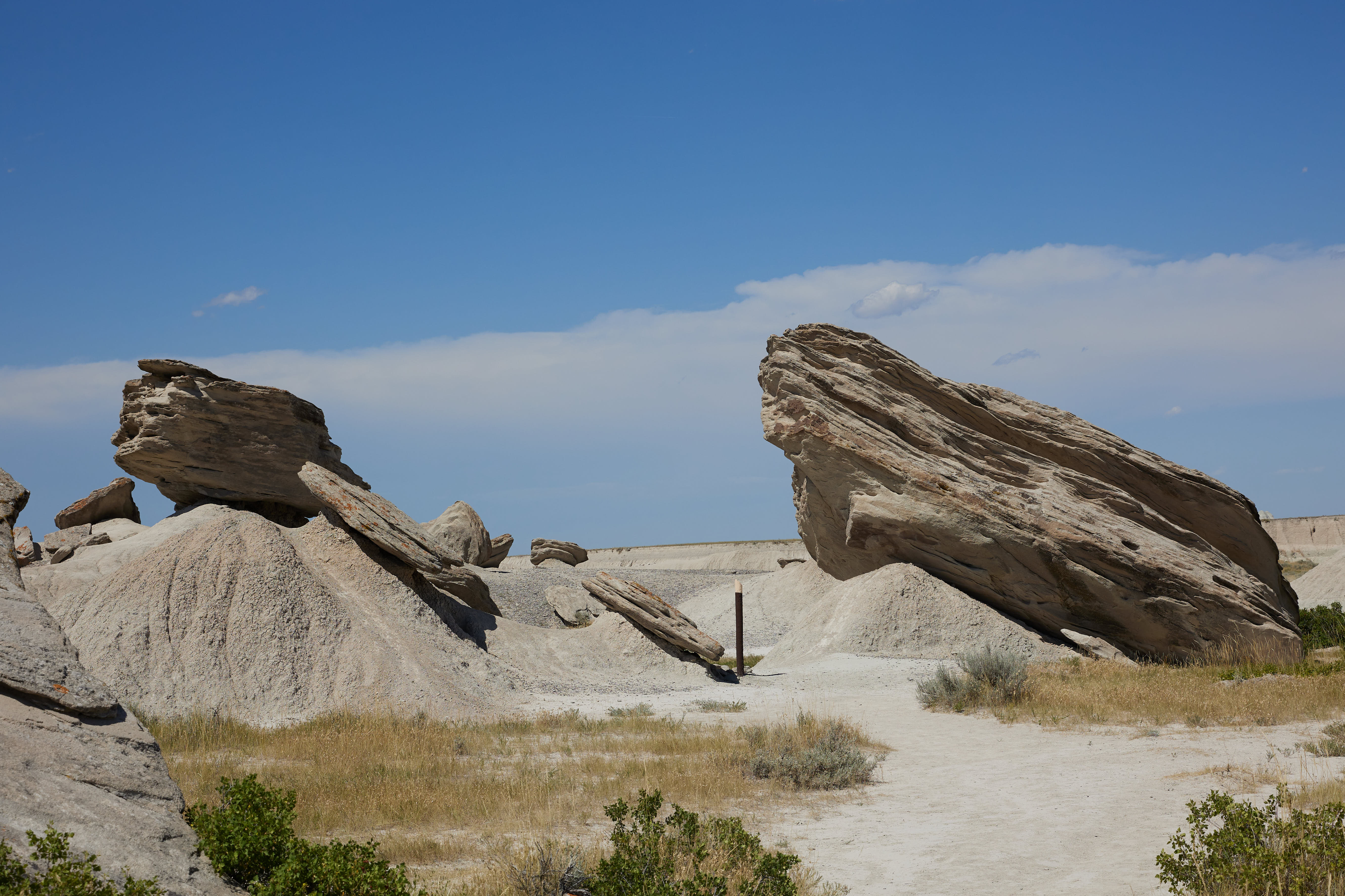
We continued on to our original break stop at Toadstool Geologic Park in the Oglala National Grassland. It was about 100 degrees when we got there so we decided not to hike too far. It was about half a mile round trip out to some of the "toadstools" that give the park its name. The top caps are a harder rock and the bottom is eroding away. They probably looked cooler when they were still precariously perched, but it was a fun stop regardless.
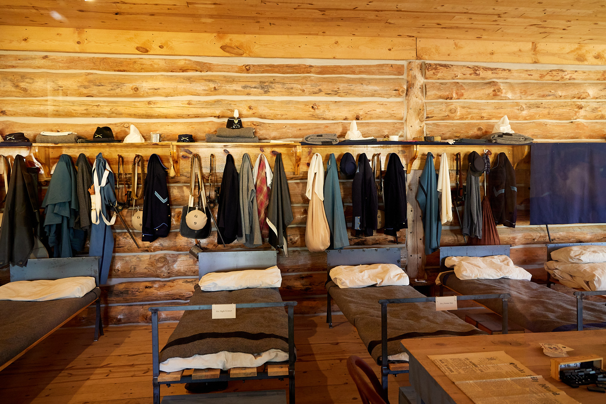
We then went and checked out Fort Robinson, which was about 10 minutes away. While it "closed" at about the time we got there, that only meant we couldn't walk inside the handful of buildings that were usually open; poking around the outside and looking in windows is just fine. Also state employees are not going to rush to make sure everything is locked at precisely 4:00 so several buildings remained open.
The Fort has been around a while, and one of its claims to fame is that Crazy Horse died there while trying to escape after turning himself in. Later on, it was used to purchase and breed horses for World War I, and then for training dogs in World War II. While a few buildings are museums, many of the buildings are now apartments or houses for people. In general, I think it's a good use of an old fort not to mention a perfect road trip unplanned stop.
Once we had seen what we could, we headed into South Dakota where we passed through Buffalo Gap National Grassland and arrived at Custer State Park to set up the tent and make supper. The campground is small but nice, and we are here on a weekday because all the campgrounds in this park are reserved a year in advance for the weekends (and many other days).
Tonight is the first of seven consecutive nights in the tent. Generally that mean no internet or power so posting will be likely not happen for several days.
Driving distance: 419 miles
Hiking distance: 2 miles