The (Other) End of the Trace
2025-04-13
AL, TN
I finished the Natchez Trace Parkway today. I can't claim that I covered 100% of it; my side trips didn't bring me back to where I left the parkway and I didn't finish the last few miles. Regardless, I consider it seen.
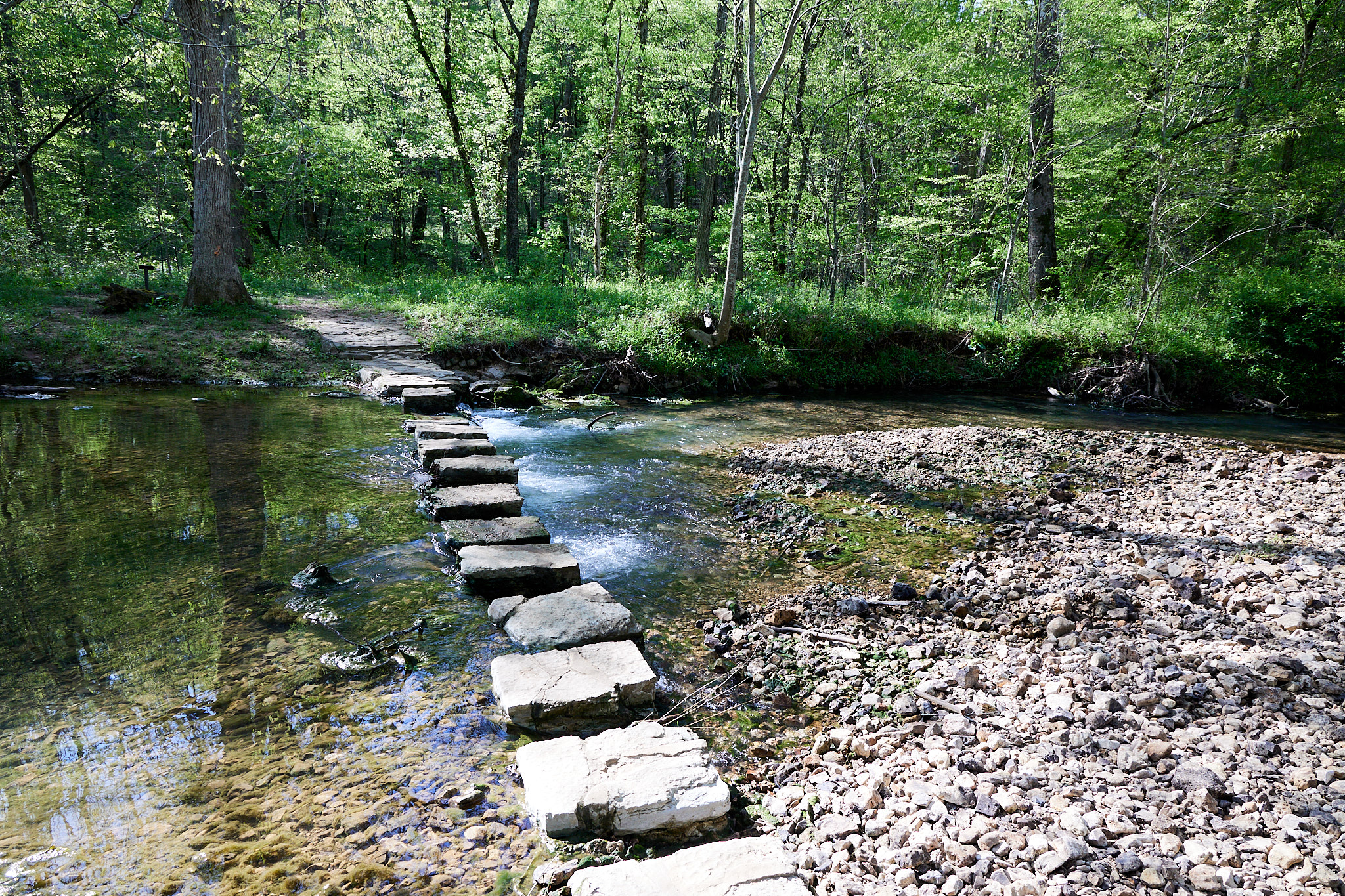
I started the day with a nature walk. The signs talked about the lovely spring and how the streams keep changing. Ironically, the stream was now in complete control of the path. People weren't daunted by that and walked the edges, but when I arrived at the creek crossing and one of the steps was broken, I gave up. In PA we keep lots of large rocks around that I could have just dropped in place, but not in (I think it was still) Alabama.
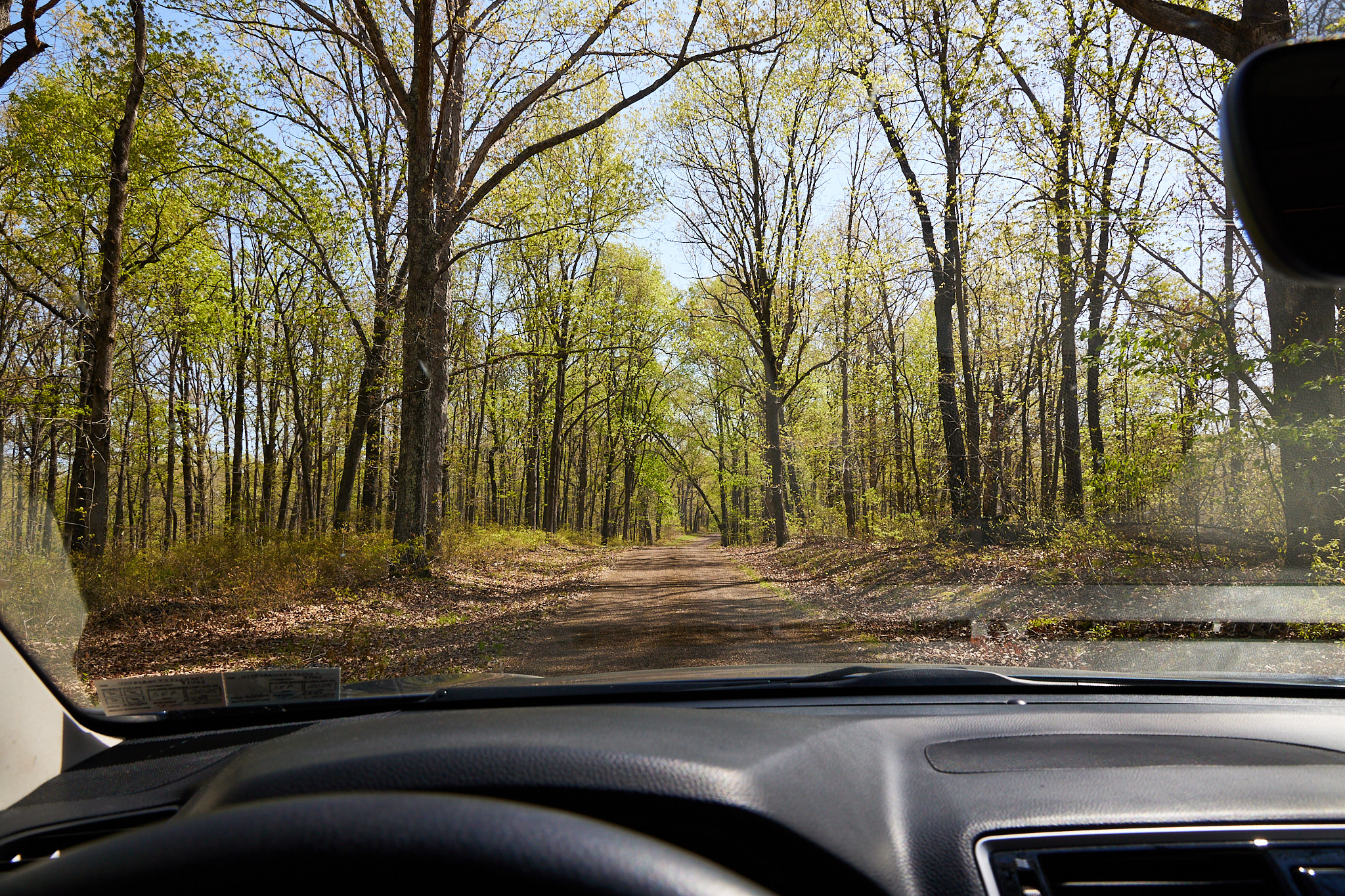
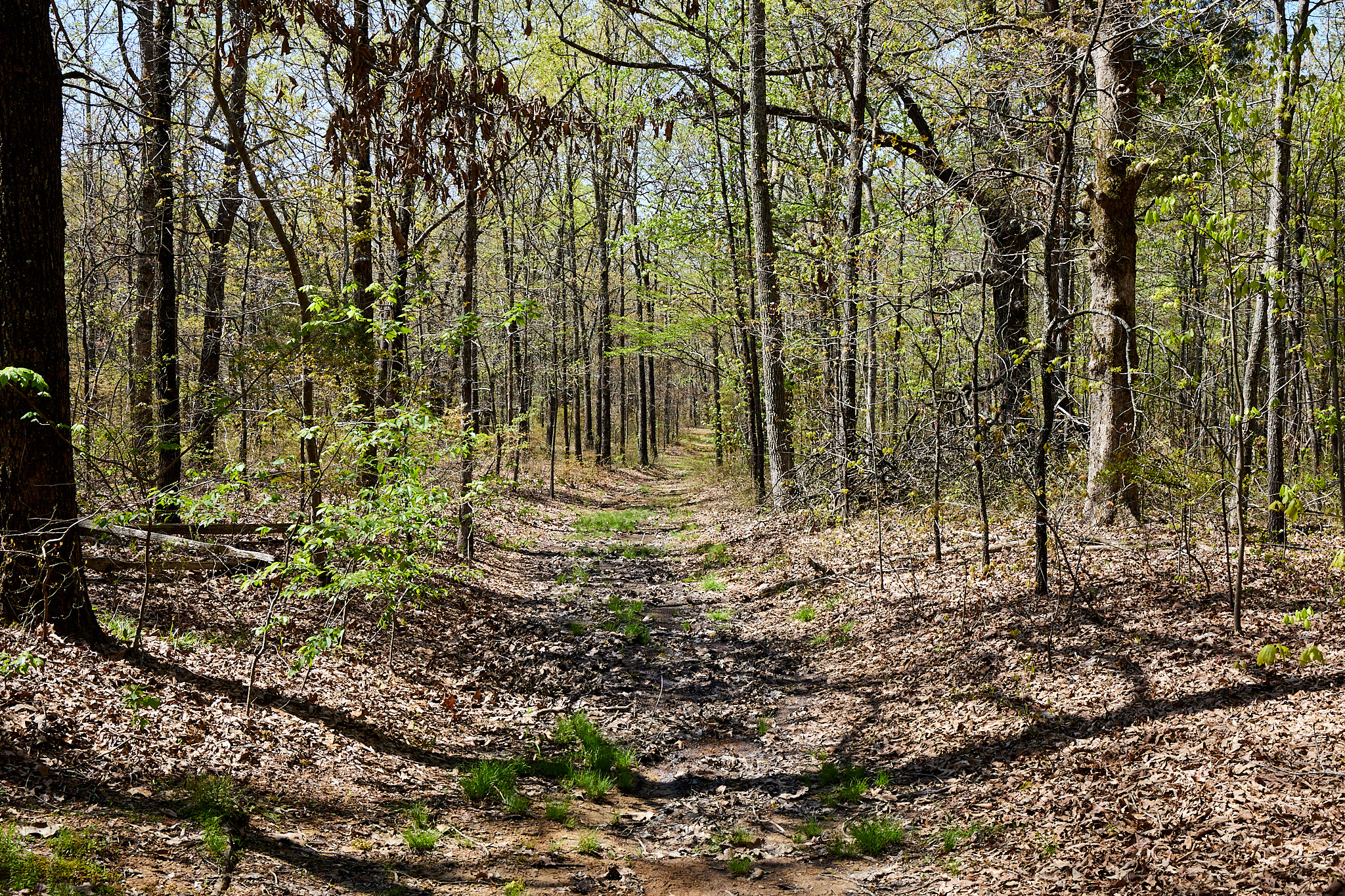
My next stop was a short section of the original trace that you could drive. The three-mile stretch was relatively flat following a ridge. This is the difference between the Natchez Trace and the Appalachian Trail. The former is a working man's path, designed to be as flat and easy as possible (although you would have to descend for water). The Appalachian, in contrast, is designed to climb to the top of every mountain it gets near.
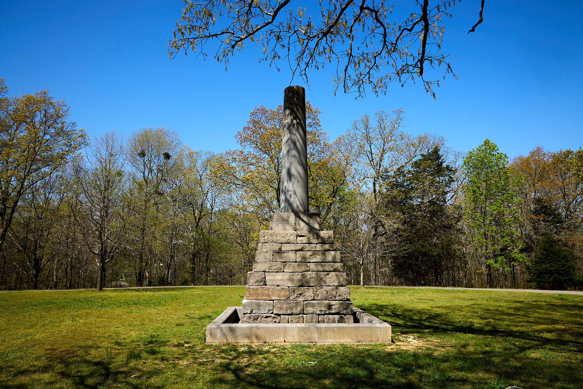
I continued on the Trace to the burial site of Meriwether Lewis (of Lewis and Clark fame). I visited the monument, and walked a bit on the trace. The knee seems better today and all told I walked about a mile at the stop. The monument was erected many years after his passing. Apparently he died while walking to DC along the trail.
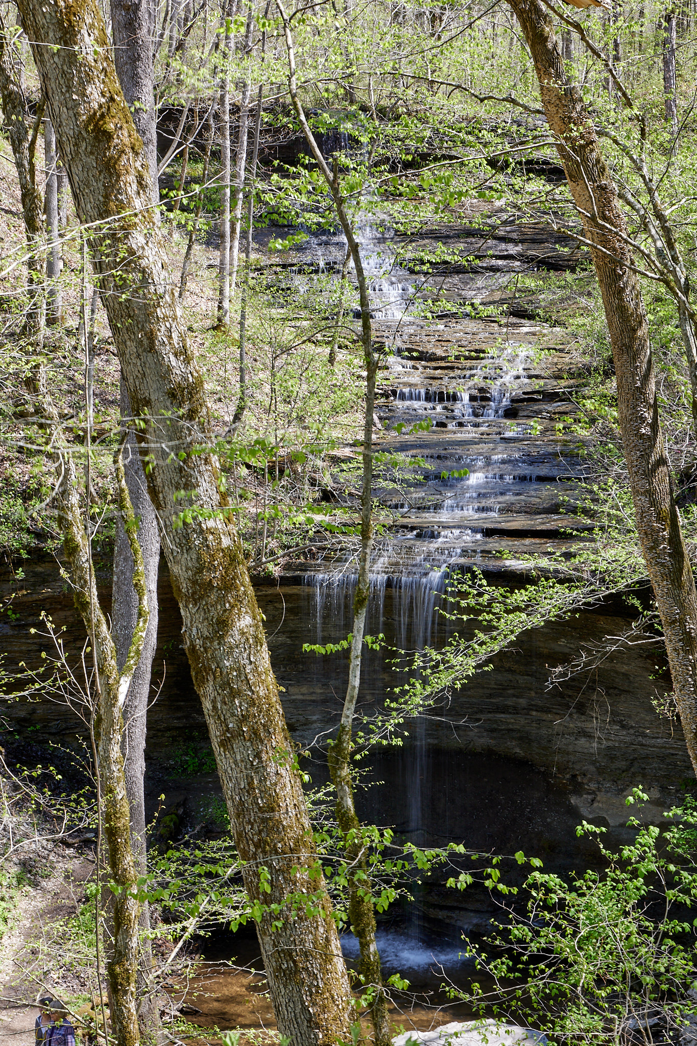
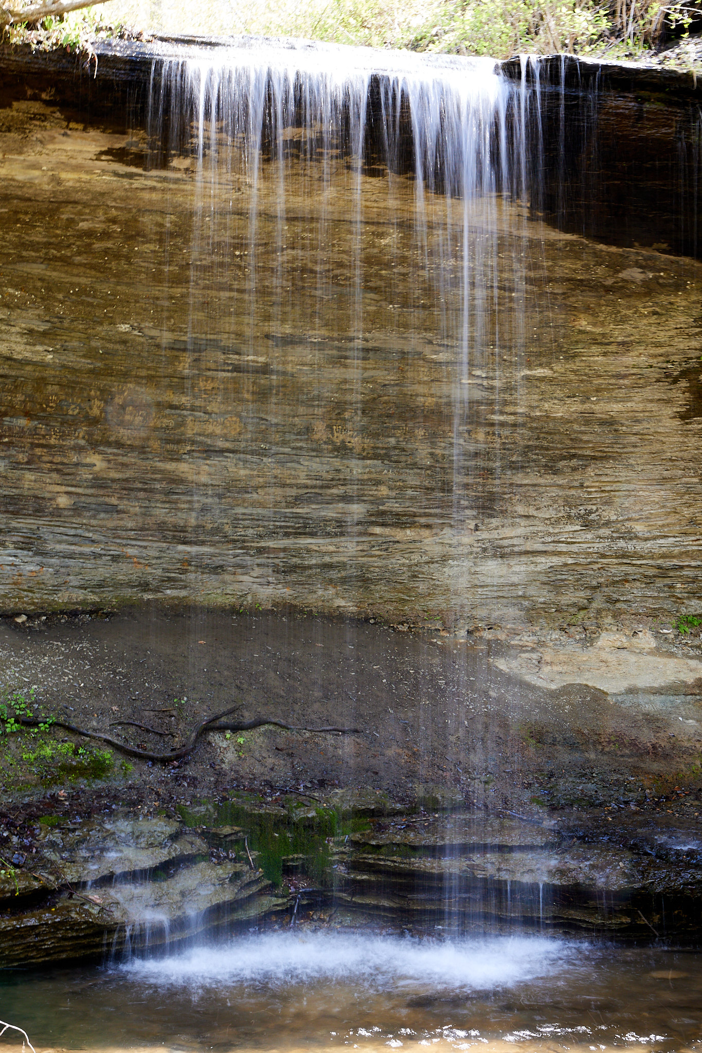
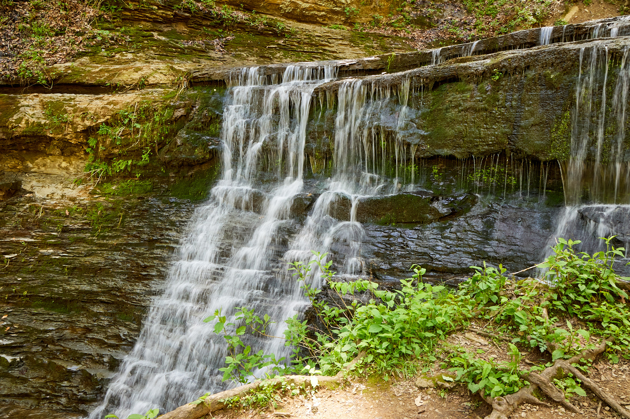
My next stop was Fall Hollow Waterfall. I do like waterfalls. The trail is a bit challenging, but it is definitely worth the trip. It was a tough light-and-dark photo to take, so there are a couple photos.
This was followed by Jackson Falls, which is connected by a short path to Baker Bluff Overlook. The trail down to the falls is a sidewalk so no worry about your shoes, but it is still a bit of a haul to come back up. The falls itself turns on its way down, and again half bright and half dark. The shot of the lower portion came out ok, but the angles and light on the top didn't pan out. The overlook was more like the overgrownlook, so not much to show there.
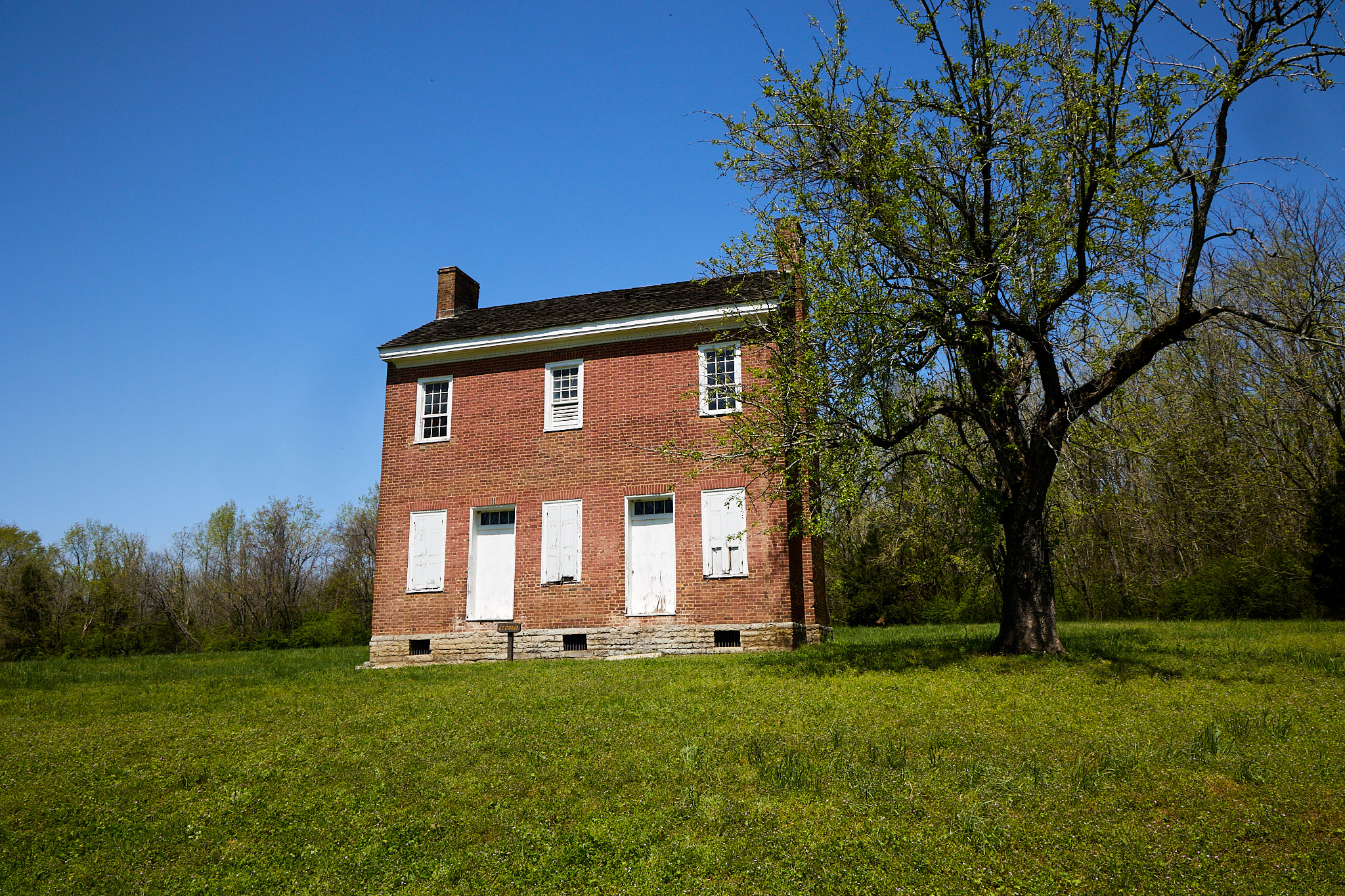
There was an unplanned stop at the Gordon house, which is showing neglect starting with the unreadable sign. I had to look it up on the internet to know what to call it. It was worth a picture though.
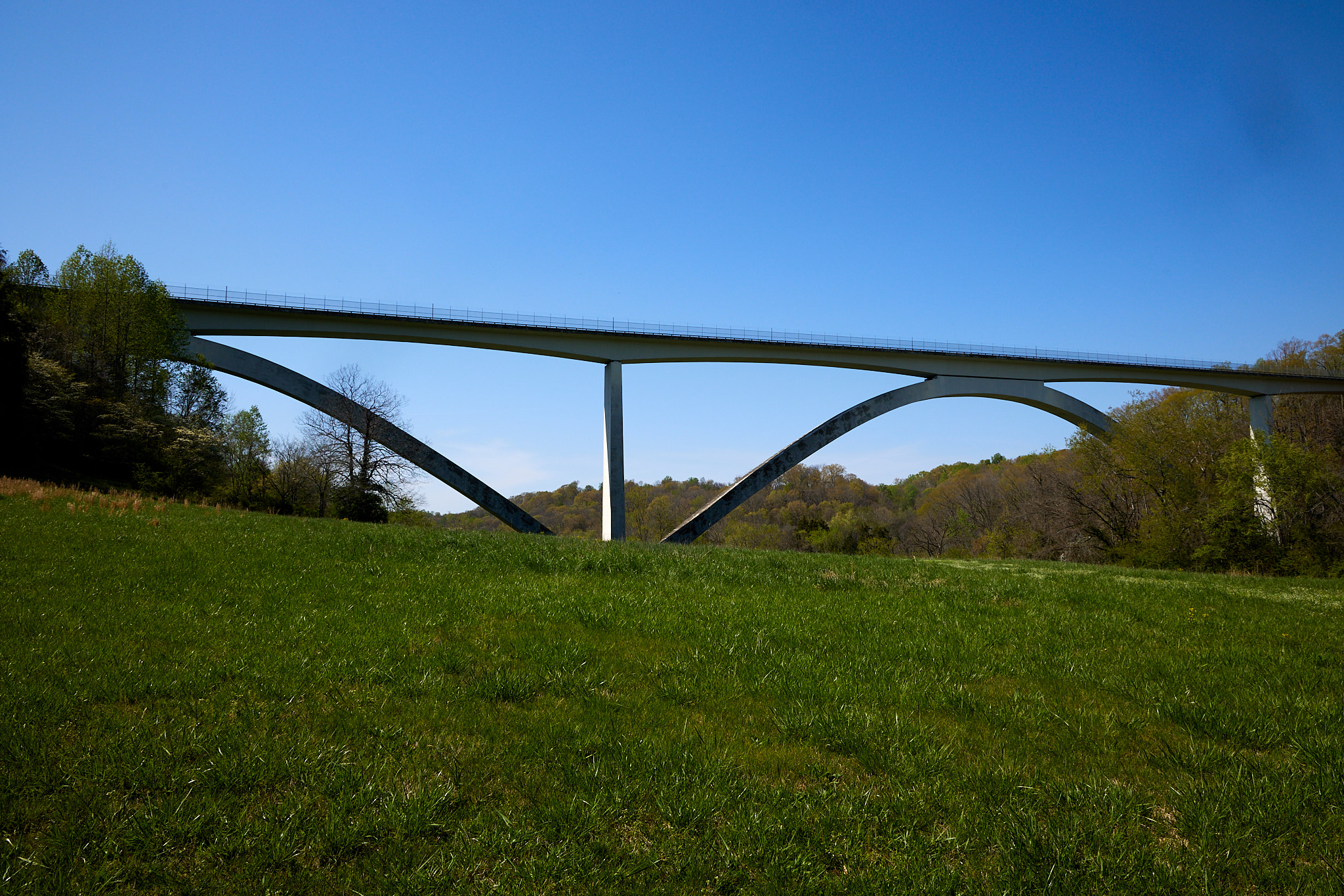
And my final stop on the Trace was the Double Arch Bridge. I don't know anything about it other than it is a cool bridge, and I took several pictures of it.
From here it was a drive over to Murphreesboro for a room for the night.