Ancients
2025-09-05
UT, CO, AZ, NM
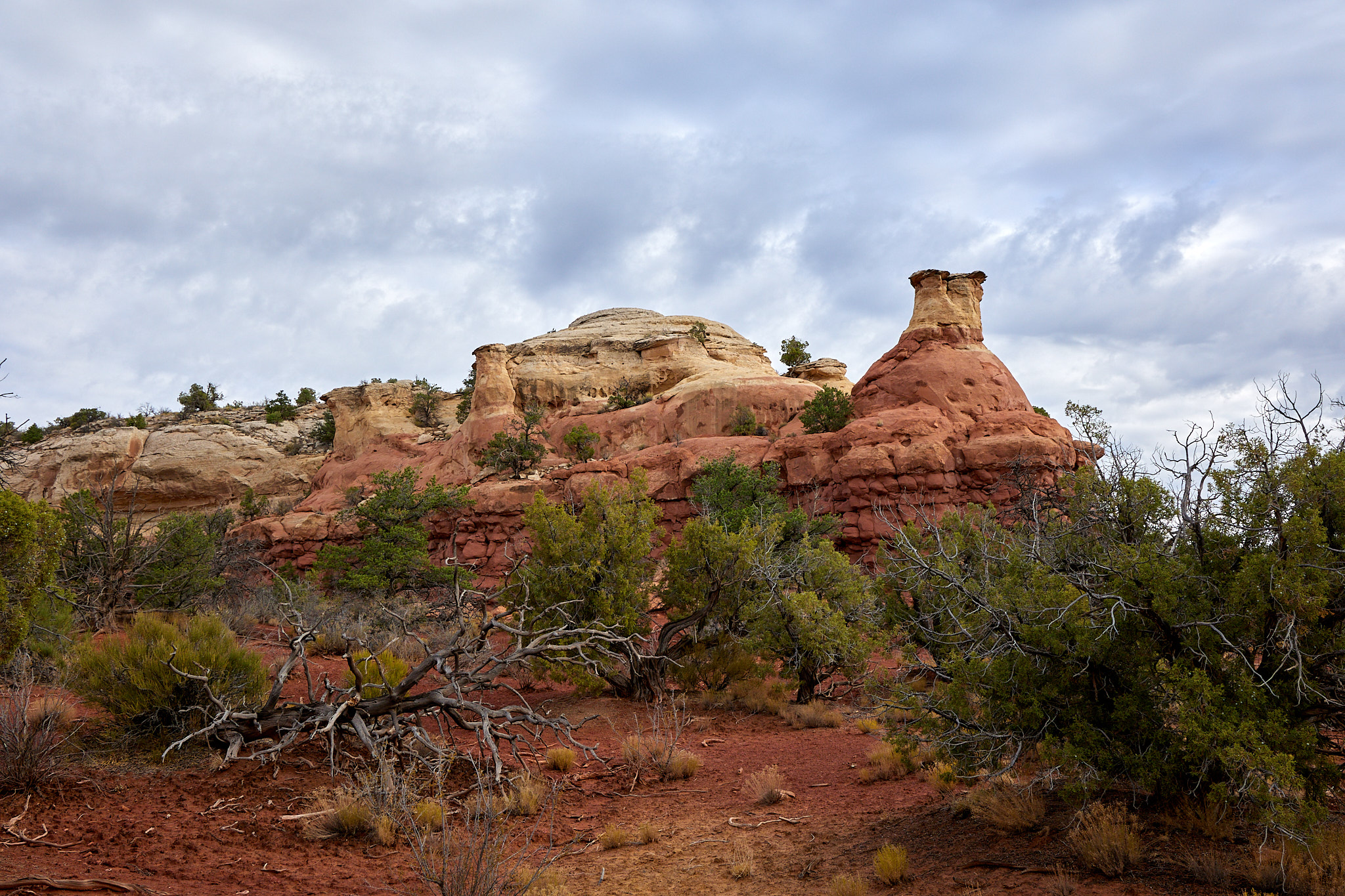
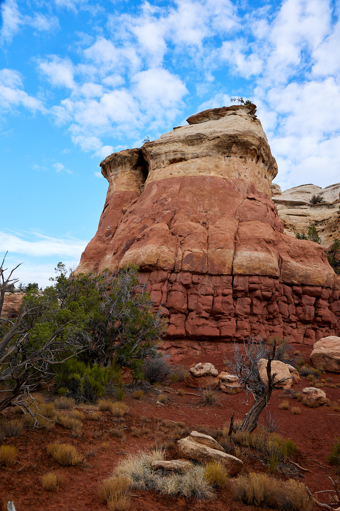
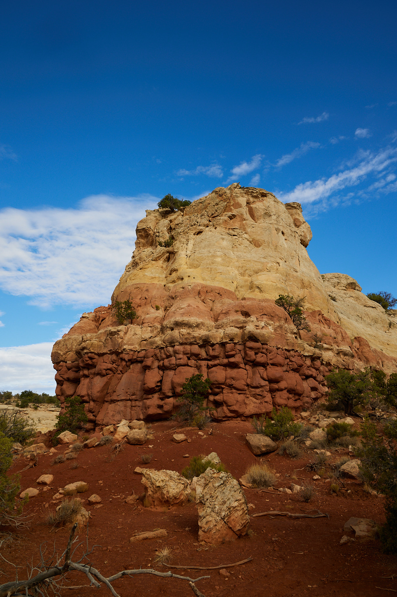
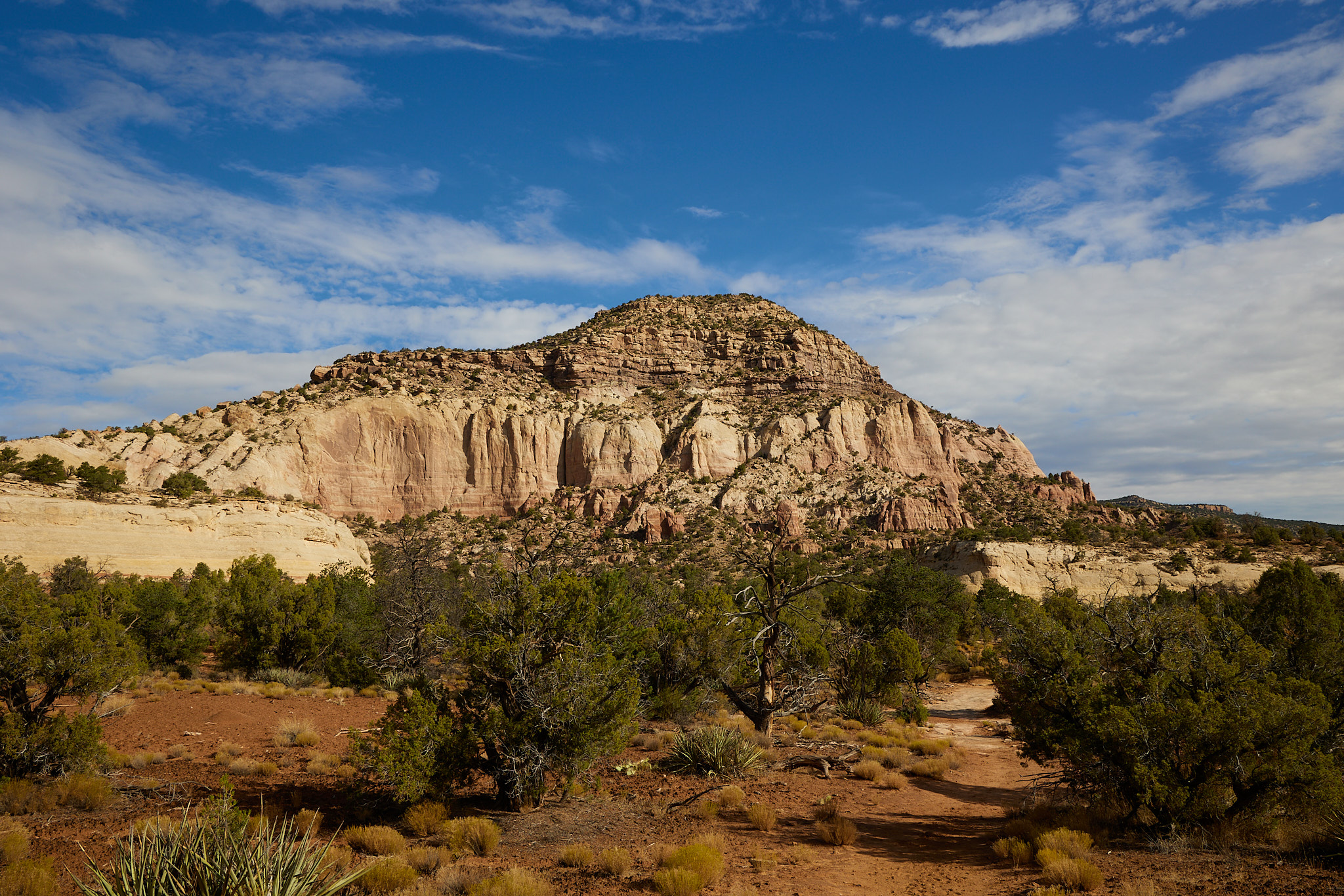
I started the day with a recommended hike in Sand Canyon. The trail starts up a big rock face, but half a mile or so in it turns into a nice trail. There are a few pueblo sites along the trail that you can view. It's 13 miles out and back to do the whole thing, but most people turn around after three miles or so when the pueblos stop. I only went a little over two miles for 4.25 miles total. I'm still getting used to the altitude.
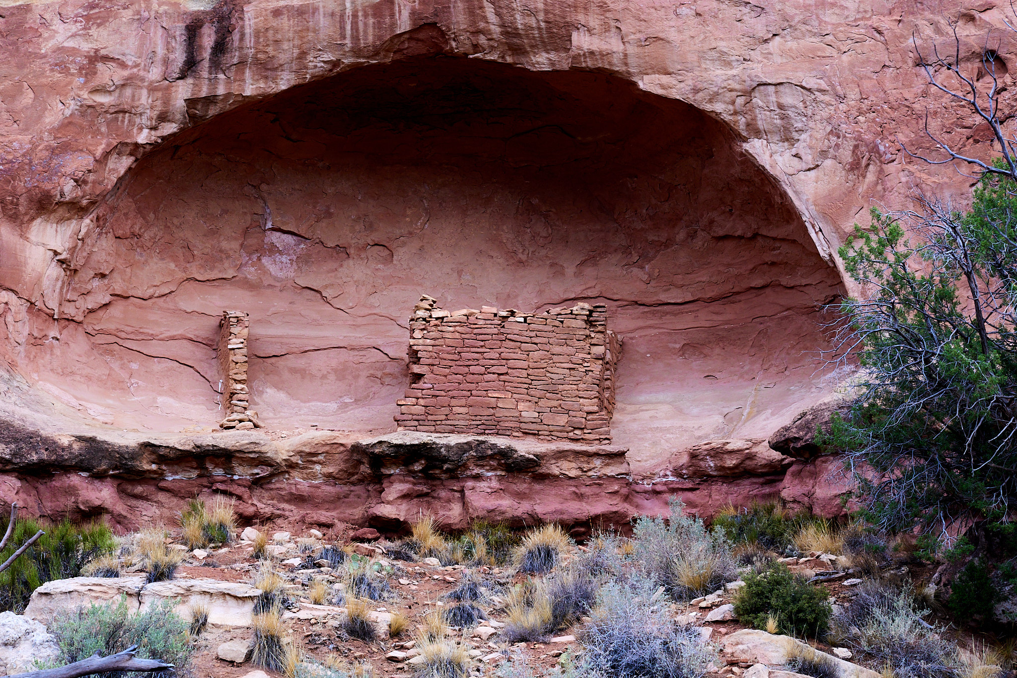
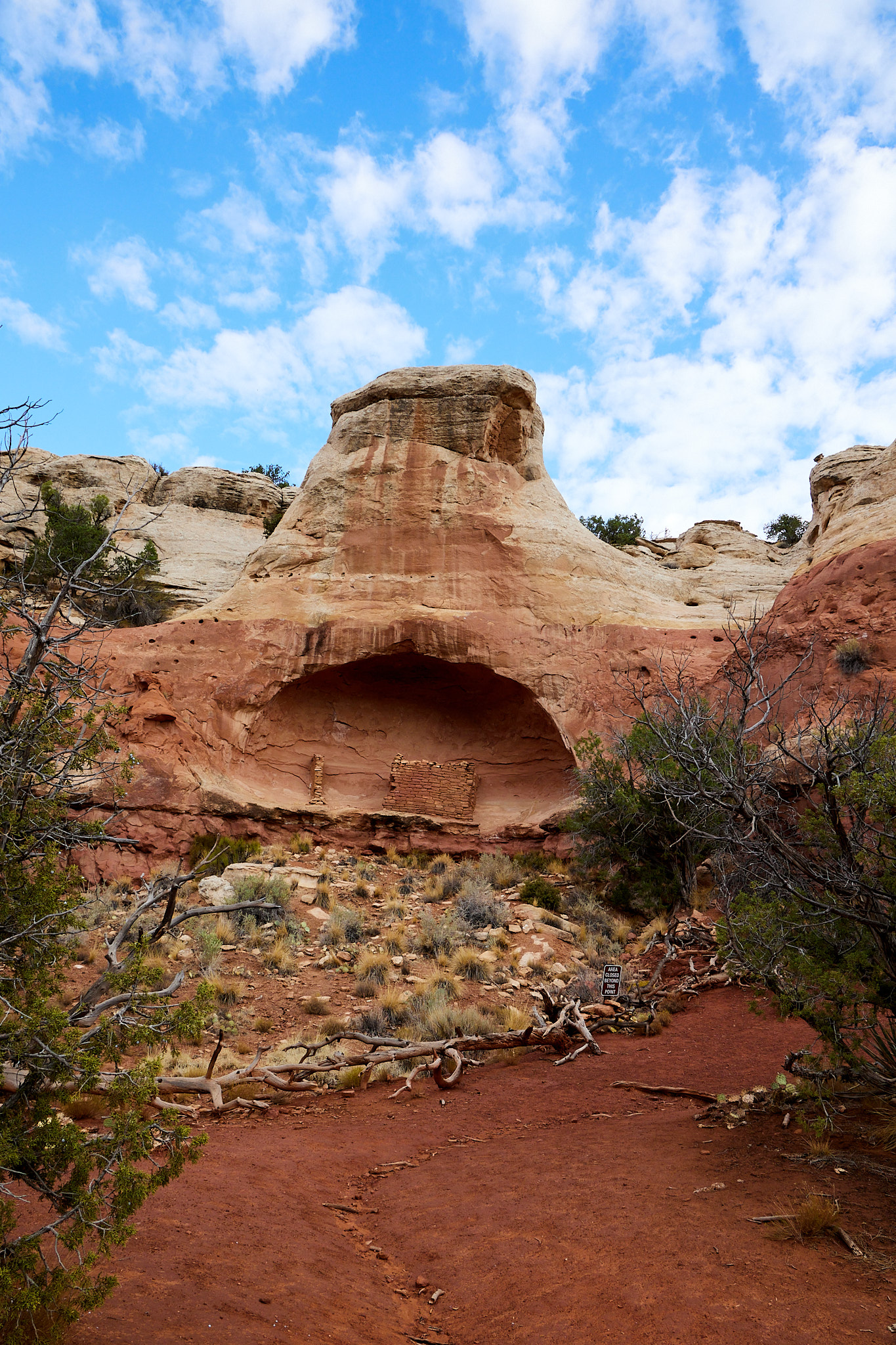
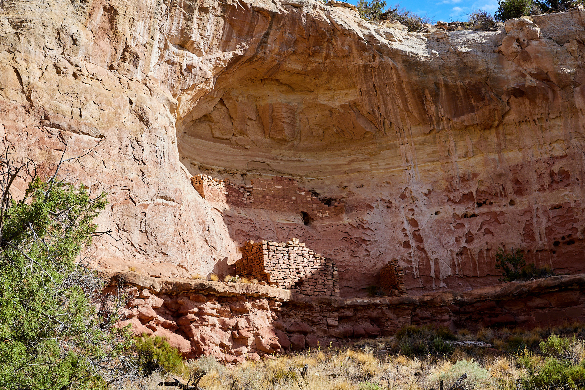
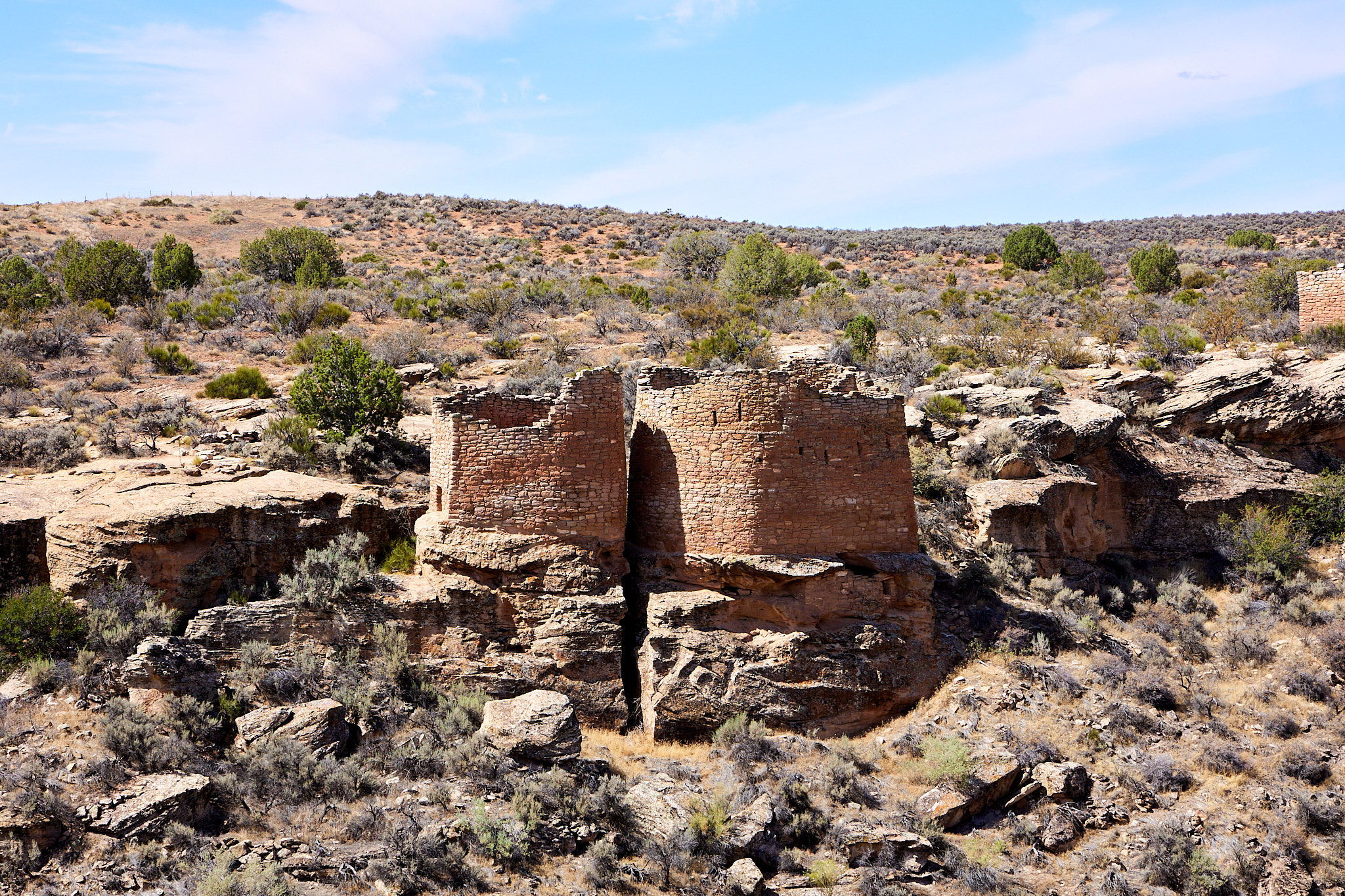
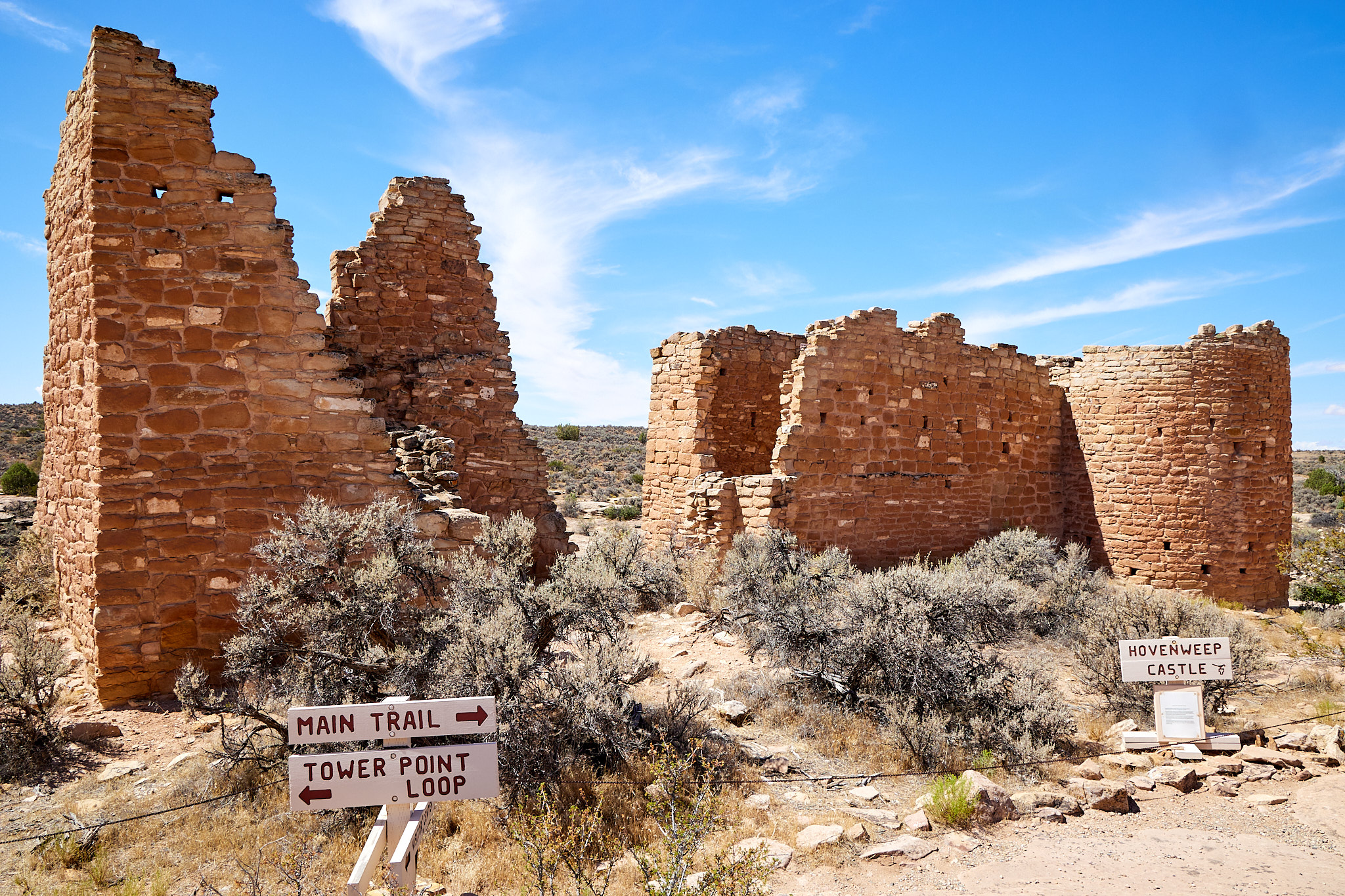
I was planning to return to the campsite and rest, but I stopped at the Hovenweep Visitor Center to pay (via my park pass) and ended up walking the trail here. These are the biggest pueblos I've seen; multiple story towers. And they say that they used to be a lot bigger, but the edge of the canyon has collapsed in so the rest of the structures are rubble. I was wondering why they built them on the edge of a canyon like that, but apparently there is no known answer. The obvious idea of defense seems a little thin. Then again it is better than my idea that it was challenging to dig an outhouse in that solid stone. There were a lot of people living on these cliffs and farming there. Note that it was wetter back then, and there must have been some trees because they used a lot of logs.
After the trail, I sat with a couple from North Carolina that travel in two week bursts for 120 days a year. They definitely keep moving. They collect Junior Ranger books and were actively doing their word jumbles and crosswords while we chatted.
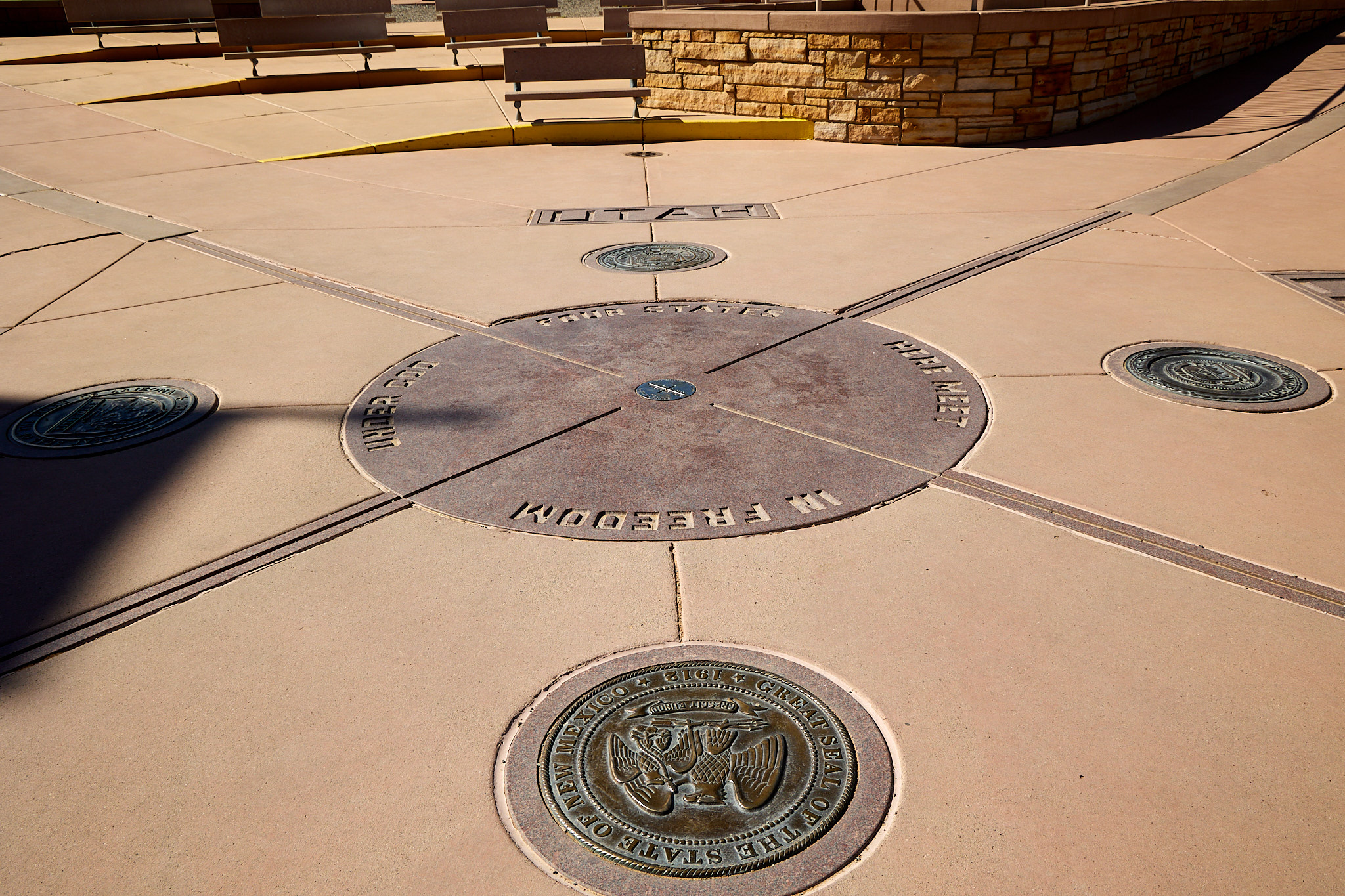
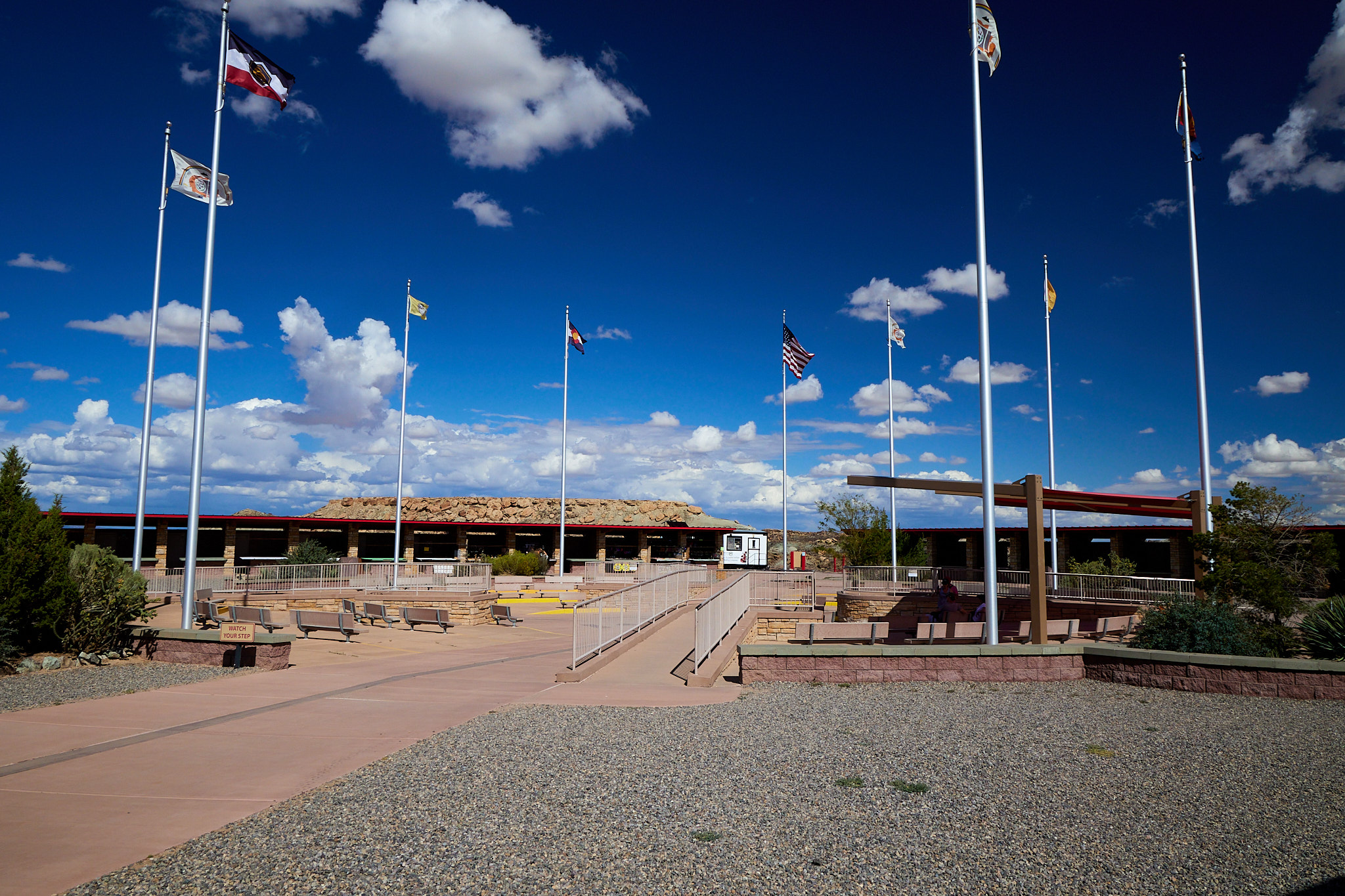
I went back to the campsite to rest in the shade, but after a while I thought that tomorrow morning's activity was to visit Four Corners Monument. A stint in the air conditioned car seemed like a better idea than sitting in the heat so I headed off and saw the monument. I actually drove through all four states to get there, with the GPS dutifully welcoming to each one. The actual monument is fine, but certainly I drove about as far out of my way as anyone should to see it. There are a lot of native craft vendors set up around the four sides; I wonder if there are four different sales taxes? I casually glanced at the crafts and some were quite nice, but I have no idea what you need and I didn't want to get the wrong color.
One other thing I noticed was that there are a large number of bottles and cans along the side of the roads between the campground and the Monument. As a guy who cleans miles of roadside, I notice these things... Maybe in a thousand years they will be the new arrowheads for people to collect.
Hiking Distance: 6.15